Export Processing Zone · Iran

Amirabad Port Active
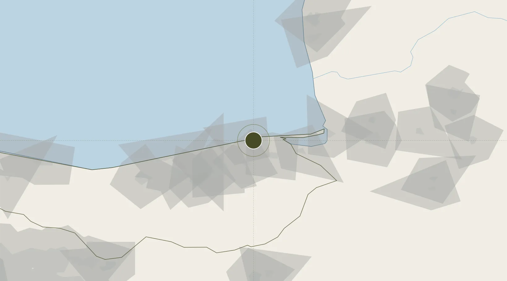
36.8483°, 53.3685°
1,060 ha
Zone area
808.2 km
Nearest port
27.8 km
Nearest airport

Gateway access

Nearest neighbours — logibook spatial index (haversine) over the source coordinates

Zone profile

Zone type
Export Processing Zone
Open Zone Map
Region
Mazandaran
Open Zone Map
Status
Active
Open Zone Map
Management
Public
Open Zone Map
Operator
Ports and Maritime Organization
Open Zone Map
Legal framework
Law of Establishment and Administration of Special Economic Zones of Islamic Republic of Iran
Open Zone Map

Location

Location of ozm-2512
Natural Earth 10m (public domain) · Mazandaran · ozm-2512 · 36.85, 53.37GoogleOSMYandex

Nearby Logistics Neighbours

Ports
  1. 1Bandar-E Mahshahr808 km
  2. 2Bandar Khomeyni816 km
  3. 3Khorramshahr859 km
  4. 4Abadan864 km
  5. 5Al Basrah870 km
Nearest neighbours — logibook spatial index (haversine) over the source coordinates
Airports
  1. 1Sari Dasht-e Naz International Airport28 km
  2. 2Gorgan Airport92 km
  3. 3Semnan Municipal Airport140 km
  4. 4Nowshahr Airport171 km
  5. 5Mehrabad International Airport225 km
Nearest neighbours — logibook spatial index (haversine) over the source coordinates
Cities
  1. 1Bandar Amirabad7 km
  2. 2Neka9 km
  3. 3Bandar Neka15 km
  4. 4Bandar-e Gaz52 km
  5. 5Freidoon Kenar75 km
Nearest neighbours — logibook spatial index (haversine) over the source coordinates
Trade Zones
  1. 1Damghan Special Economic Zone114 km
  2. 2Semnan Special Economic Zone141 km
  3. 3Bandar Nowshahr Special Economic Zone167 km
  4. 4Noshahr Special Economic Zone167 km
  5. 5Garmsar Special Economic Zone207 km
Nearest neighbours — logibook spatial index (haversine) over the source coordinates
DatabookThe Record of Consolidated Knowledge
Iran beyond logistics?
Browse databook

All Sources

Trade ZonesOpen Zone Map
CC BY
Portsthe NGA World Port Index
Public domain (US gov)
AirportsOurAirports
Public domain
LocationsUN/LOCODE
UN/LOCODE — free
← Iran trade zones