Medium airport · Iran
Yasuj AirportOISY
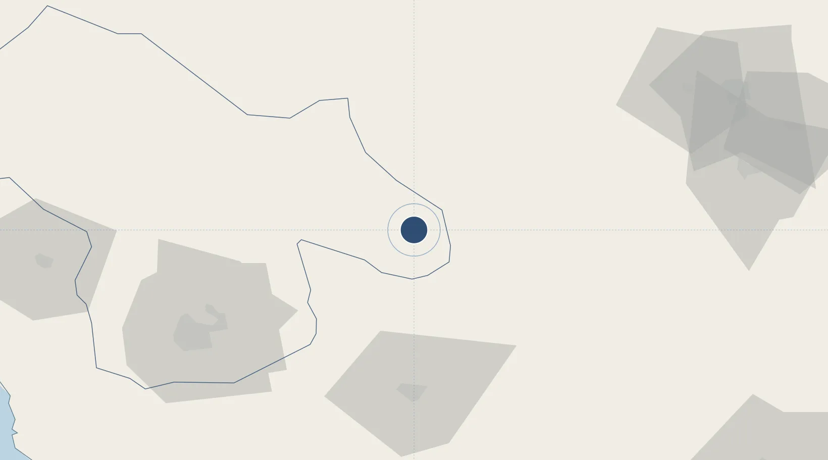
30.7022°, 51.5430°
8,522 ft
Longest runway
1
Runways
5,939 ft
Elevation
Runway & Layout

Radio Frequencies
AFIS
121.8 MHz
Navaids
YSJ NDB-DME Yasouj 0.23 MHz
Runways · 1
| Runway | Dimensions | Surface | True heading | Lit |
|---|---|---|---|---|
| 13/31 | 8,522 × 148ft | Asphalt | 132° | ✓ |
Airport Specifications
IATA code
YES
ICAO code
OISY
Airport class
Medium airport
Scheduled service
No
Runway surface
Asphalt
Served city
Yasuj
Location
Nearby Logistics Neighbours
Airports
- 1Gachsaran Airport79 km
- 2Shiraz Shahid Dastghaib International Airport164 km
- 3Aghajari Airport178 km
- 4Shahrekord Airport189 km
- 5Khark Airport199 km
Ports
- 1Kharg Island Oil Terminal201 km
- 2Bushehr203 km
- 3Bandar-E Mahshahr227 km
- 4Bandar Khomeyni237 km
- 5Sirus Oil Terminal273 km
Trade Zones
DatabookThe Record of Consolidated Knowledge
Iran beyond logistics?