Transport Functions
Multimodal
Hub Profile
Place type
Populated place
Region
Fars
Time zone
Asia/Tehran
Elevation
1,592 m
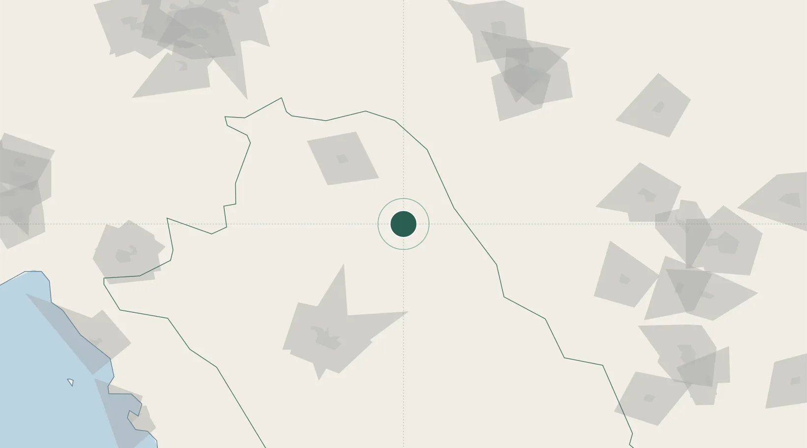
Location
Nearby Logistics Neighbours
Ports
- 1Bushehr292 km
- 2Kharg Island Oil Terminal316 km
- 3Bandar-E Mahshahr385 km
- 4Bandar Khomeyni395 km
- 5Sirus Oil Terminal400 km
Airports
- 1Shiraz Shahid Dastghaib International Airport133 km
- 2Yasuj Airport159 km
- 3Shahid Sadooghi Airport176 km
- 4Fasa Airport198 km
- 5Gachsaran Airport229 km
Trade Zones
DatabookThe Record of Consolidated Knowledge
Iran beyond logistics?