Channel & Berth Profile
Pilotage, Tugs & Services
Pilotage compulsoryYES
Pilotage availableYES
Tug assistanceYES
Salvage tugsYES
Potable waterNO
Diesel bunkersYES
MedicalYES
Garbage disposalNO
Facilities & Capabilities
Container—
Ro-Ro—
Liquid bulk—
Dry bulk—
Oil terminal—
Break bulk—
Dry dock—
Repairs—
BunkeringYES
Rail link—
Dangerous cargo—
ISPS security—
Harbour Specifications
Harbour size
Very Small
Harbour type
Open Roadstead
Shelter
Fair
Water body
Persian Gulf; Indian Ocean
Tidal range
2 m
Pilotage
Yes
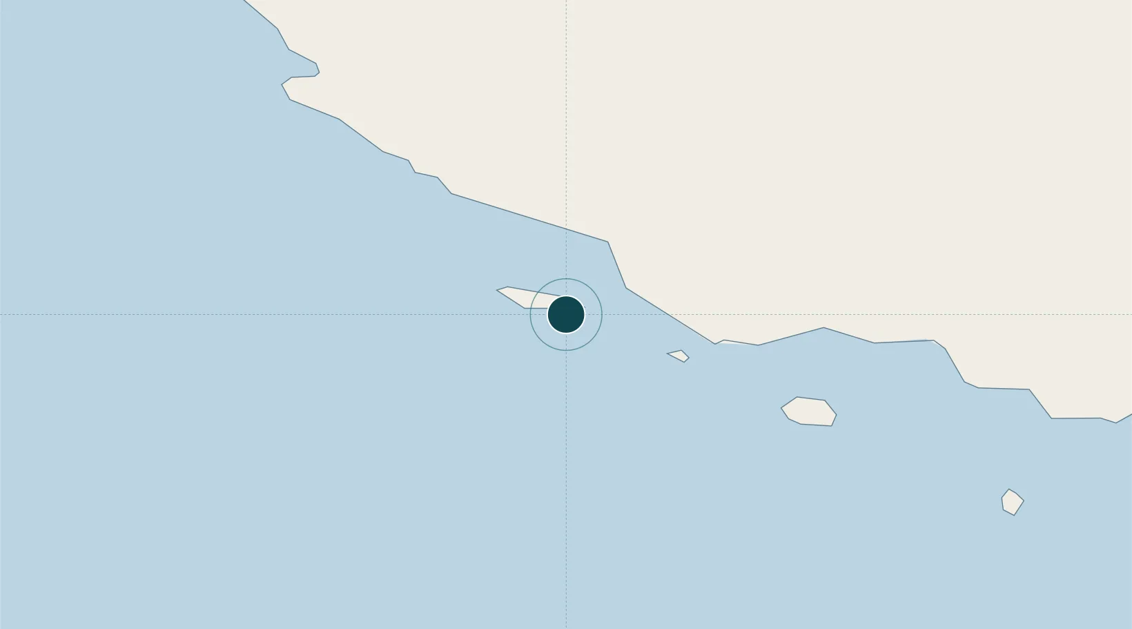
Location
Nearby Logistics Neighbours
Ports
- 1Al Shaheen Terminal134 km
- 2Jazirat Halul153 km
- 3Jazireh-Ye Sirri156 km
- 4Fateh Oil Terminal172 km
- 5Al Rayyan Terminal178 km
Cities
- 1Bandare Parsian61 km
- 2Amirabad103 km
- 3Asaluyeh105 km
- 4Al Shaheen129 km
- 5Abu al Bukhoosh146 km
Airports
- 1Lavan Airport4 km
- 2Lamerd Airport67 km
- 3Kish International Airport70 km
- 4Persian Gulf International Airport89 km
- 5Lar Airport144 km
DatabookThe Record of Consolidated Knowledge
Iran beyond logistics?