Medium airport · Iran
Fasa AirportOISF
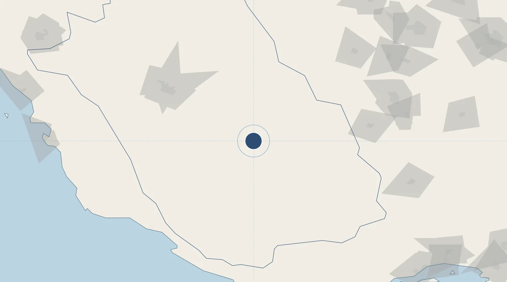
28.8918°, 53.7233°
6,502 ft
Longest runway
1
Runways
4,261 ft
Elevation
Runway & Layout

Radio Frequencies
AFIS
118.95 MHz
INFO
Navaids
FSA NDB Fasa 216 kHz
Runways · 1
| Runway | Dimensions | Surface | True heading | Lit |
|---|---|---|---|---|
| 14/32 | 6,502 × 100ft | Asphalt | 140° | — |
Airport Specifications
IATA code
FAZ
ICAO code
OISF
Airport class
Medium airport
Scheduled service
No
Runway surface
Asphalt
Served city
Fasa
Location
Nearby Logistics Neighbours
Airports
- 1Shiraz Shahid Dastghaib International Airport132 km
- 2Lar Airport150 km
- 3Lamerd Airport177 km
- 4Jam Airport179 km
- 5Persian Gulf International Airport194 km
Cities
- 1Abadeh171 km
- 2Asaluyeh193 km
- 3Dehbid198 km
- 4Tombak201 km
- 5Sarooj Anchorage201 km
Ports
- 1Jazireh-Ye Lavan Oil Terminal238 km
- 2Bushehr281 km
- 3Bandar-E Shahid Rejaie304 km
- 4Al Shaheen Terminal308 km
- 5Bandar Abbas311 km
DatabookThe Record of Consolidated Knowledge
Iran beyond logistics?