Diversified Zone · Iran

Neyriz Special Economic Zone Under Development
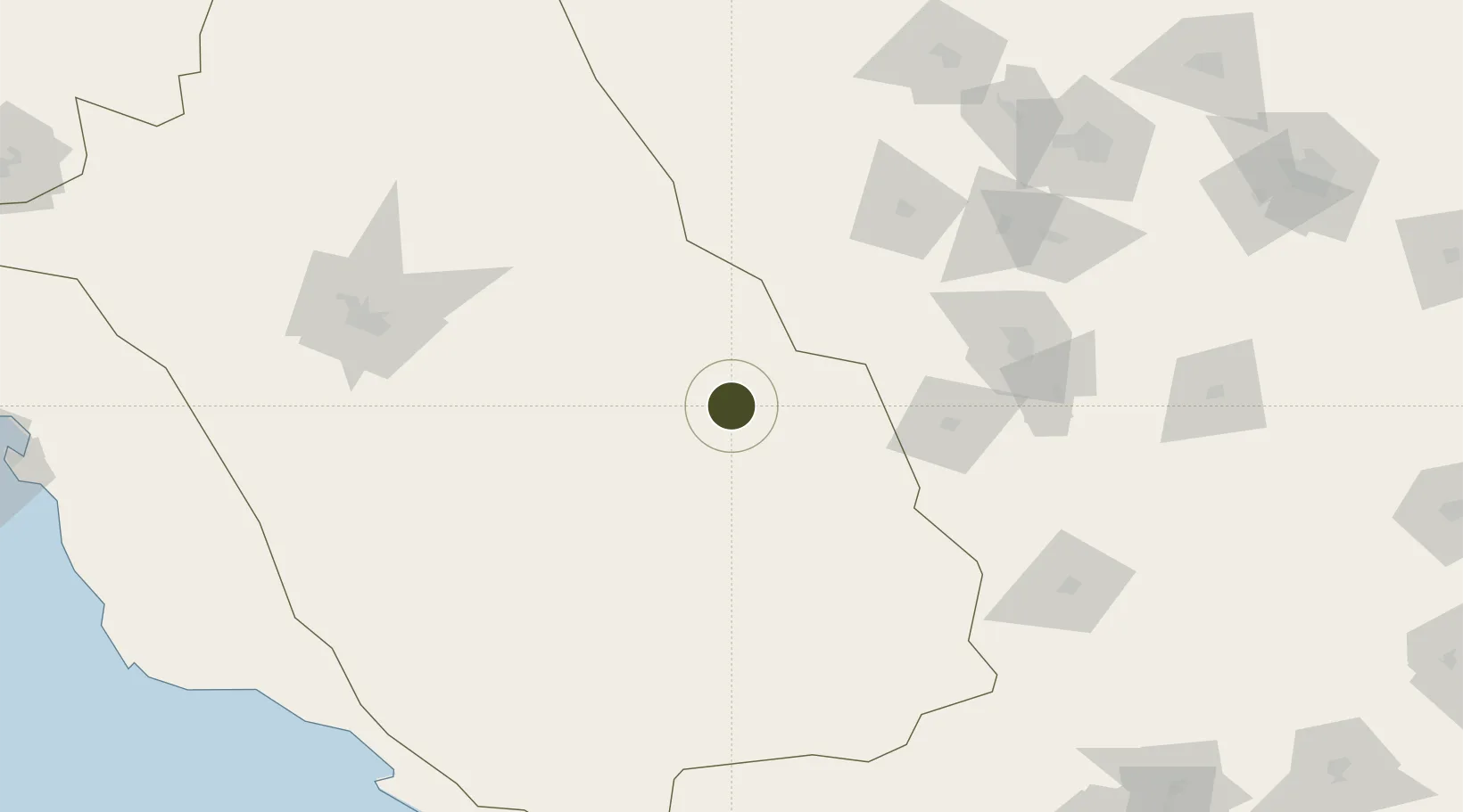
29.1905°, 54.2861°
1 ha
Zone area
283.5 km
Nearest port
64.0 km
Nearest airport

Gateway access

Nearest neighbours — logibook spatial index (haversine) over the source coordinates

Zone profile

Zone type
Diversified Zone
Open Zone Map
Region
Fars
Open Zone Map
Status
Under Development
Open Zone Map
Management
Public
Open Zone Map
Operator
Fars Provincial Authority
Open Zone Map
Legal framework
Law of Establishment and Administration of Special Economic Zones of Islamic Republic of Iran
Open Zone Map

Location

Location of ozm-2466
Natural Earth 10m (public domain) · Fars · ozm-2466 · 29.19, 54.29GoogleOSMYandex

Nearby Logistics Neighbours

Ports
  1. 1Jazireh-Ye Lavan Oil Terminal284 km
  2. 2Bandar-E Shahid Rejaie291 km
  3. 3Bandar Abbas294 km
  4. 4Jazireh-Ye Hormoz315 km
  5. 5Bushehr336 km
Nearest neighbours — logibook spatial index (haversine) over the source coordinates
Airports
  1. 1Fasa Airport64 km
  2. 2Sirjan Airport140 km
  3. 3Lar Airport169 km
  4. 4Shiraz Shahid Dastghaib International Airport169 km
  5. 5Oghab 44 Airbase175 km
Nearest neighbours — logibook spatial index (haversine) over the source coordinates
Cities
  1. 1Dehbid190 km
  2. 2Abadeh194 km
  3. 3Asaluyeh253 km
  4. 4Amirabad260 km
  5. 5Bandare Parsian263 km
Nearest neighbours — logibook spatial index (haversine) over the source coordinates
Trade Zones
  1. 1Jahrom Special Economic Zone96 km
  2. 2Sirjan Special Economic Zone132 km
  3. 3Shiraz Special Economic Zone166 km
  4. 4Rafsanjan Special Economic Zone224 km
  5. 5Lamerd Lamord Special Economic Zone for Energy Industries234 km
Nearest neighbours — logibook spatial index (haversine) over the source coordinates
DatabookThe Record of Consolidated Knowledge
Iran beyond logistics?
Browse databook

All Sources

Trade ZonesOpen Zone Map
CC BY
Portsthe NGA World Port Index
Public domain (US gov)
AirportsOurAirports
Public domain
LocationsUN/LOCODE
UN/LOCODE — free
← Iran trade zones