Small airport · Indonesia

LNG Badak AirportWRLC
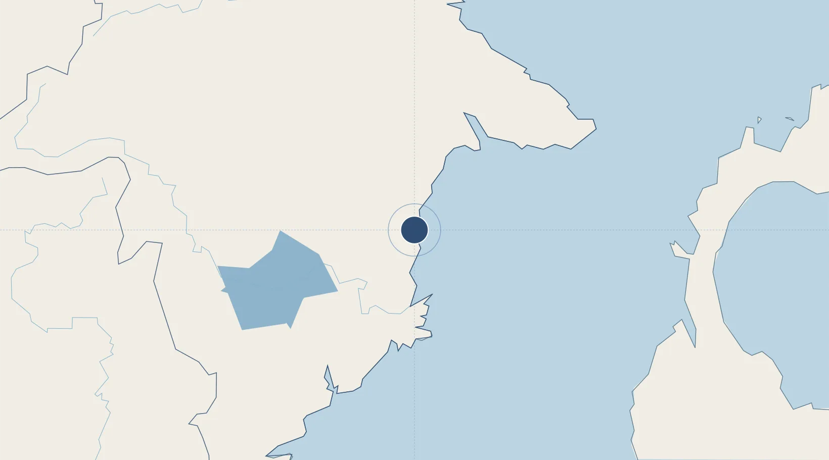
0.1217°, 117.4766°
3,350 ft
Longest runway
1
Runways
49 ft
Elevation

Runway & Layout

LNG Badak Airport runway & taxiway layout
Runway & taxiway layout — OpenStreetMap (ODbL) / OurAirports

Runways · 1

RunwayDimensions SurfaceTrue headingLit
04/22 3,350 × 75ft asphalt 039°
OurAirports

Airport Specifications

IATA code
BXT
OurAirports
ICAO code
WALC
OurAirports
Airport class
Small airport
OurAirports
Scheduled service
Yes
OurAirports
Runway surface
asphalt
OurAirports
Served city
Bontang-Borneo Island
OurAirports

Location

Location of WRLC
Natural Earth 10m (public domain) · Kalimantan Timur · WRLC · 0.12, 117.48GoogleOSMYandex

Nearby Logistics Neighbours

Airports
  1. 1Aji Pangeran Tumenggung Pranoto International Airport61 km
  2. 2Sultan Aji Muhammad Sulaiman Sepinggan International Airport168 km
  3. 3Kalimarau Airport225 km
  4. 4Mutiara - SIS Al-Jufrie Airport294 km
  5. 5Tanjung Harapan Airport302 km
Nearest neighbours — logibook spatial index (haversine) over the source coordinates
Cities
  1. 1Tanjung Merangas11 km
  2. 2Lubuk Tutung77 km
  3. 3Samarinda, Kalimantan81 km
  4. 4Senipah125 km
  5. 5Balikpapan162 km
Nearest neighbours — logibook spatial index (haversine) over the source coordinates
Ports
  1. 1Bontang Lng Terminal3 km
  2. 2Tanjung Santan25 km
  3. 3Tanjung Sangata29 km
  4. 4Samarinda82 km
  5. 5Senipah Oil Terminal124 km
Nearest neighbours — logibook spatial index (haversine) over the source coordinates
Trade Zones
  1. 1Kaltim Industrial Estate7 km
  2. 2Maloy Batuta Trans Kalimantan Special Economic Zone92 km
  3. 3Delma Industrial Park127 km
  4. 4Kariangau Industrial Estate170 km
  5. 5Muara Wahau Industrial Park181 km
Nearest neighbours — logibook spatial index (haversine) over the source coordinates
DatabookThe Record of Consolidated Knowledge
Indonesia beyond logistics?
Browse databook

All Sources

AirportsOurAirports
Public domain
Portsthe NGA World Port Index
Public domain (US gov)
LocationsUN/LOCODE
UN/LOCODE — free
Trade Zonesthe World Bank SEZ database
CC BY 4.0
Trade ZonesOpen Zone Map
CC BY
InfrastructureOpenStreetMap
ODbL 1.0
← Indonesia airports