Small airport · Indonesia
Tanjung Harapan AirportWALG
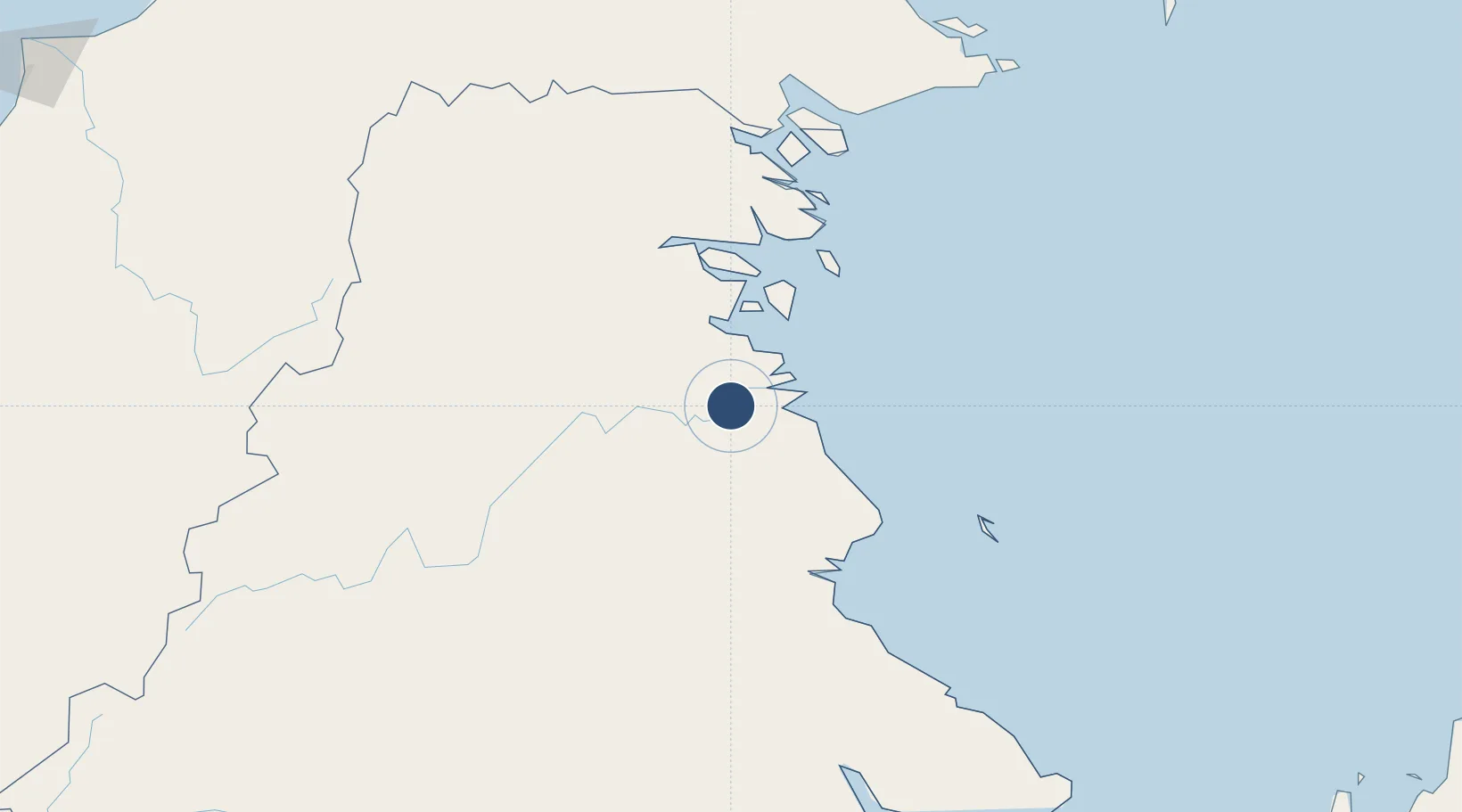
2.8358°, 117.3736°
3,773 ft
Longest runway
1
Runways
20 ft
Elevation
Runway & Layout

Radio Frequencies
INFO
118.5 MHz
Runways · 1
| Runway | Dimensions | Surface | True heading | Lit |
|---|---|---|---|---|
| 03/21 | 3,773 × 75ft | ASPHALT | 029° | — |
Airport Specifications
IATA code
TJS
ICAO code
WAQD
Airport class
Small airport
Scheduled service
Yes
Runway surface
ASPHALT
Served city
Tanjung Selor-Borneo Island
Location
Nearby Logistics Neighbours
Airports
- 1Juwata International Airport / Suharnoko Harbani AFB58 km
- 2Kalimarau Airport77 km
- 3Robert Atty Bessing117 km
- 4Tawau Airport184 km
- 5Long Rungan190 km
Cities
- 1Tarakan, Kalimantan55 km
- 2Bunyu88 km
- 3Mangkajang88 km
- 4Suaran95 km
- 5Bantul159 km
Ports
- 1Tanjung Arang (Bunyu)87 km
- 2Tawa167 km
- 3Mostyn227 km
- 4Lahad Datu264 km
- 5Bakapit271 km
Trade Zones
- 1Muara Wahau Industrial Park183 km
- 2Maloy Batuta Trans Kalimantan Special Economic Zone233 km
- 3Delma Industrial Park277 km
- 4Kaltim Industrial Estate295 km
- 5Muara Export Zone353 km
DatabookThe Record of Consolidated Knowledge
Indonesia beyond logistics?