Medium airport · Indonesia
Aji Pangeran Tumenggung Pranoto International AirportWALS
-0.3745°, 117.2501°
7,382 ft
Longest runway
1
Runways
82 ft
Elevation
Runway & Layout

Radio Frequencies
TWR
122.4 MHz
Navaids
TG NDB Temindung 404 kHz
Runways · 1
| Runway | Dimensions | Surface | True heading | Lit |
|---|---|---|---|---|
| 04/22 | 7,382 × 148ft | Asphalt | 034° | ✓ |
Airport Specifications
IATA code
AAP
ICAO code
WALS
Airport class
Medium airport
Scheduled service
Yes
Runway surface
Asphalt
Served city
Samarinda
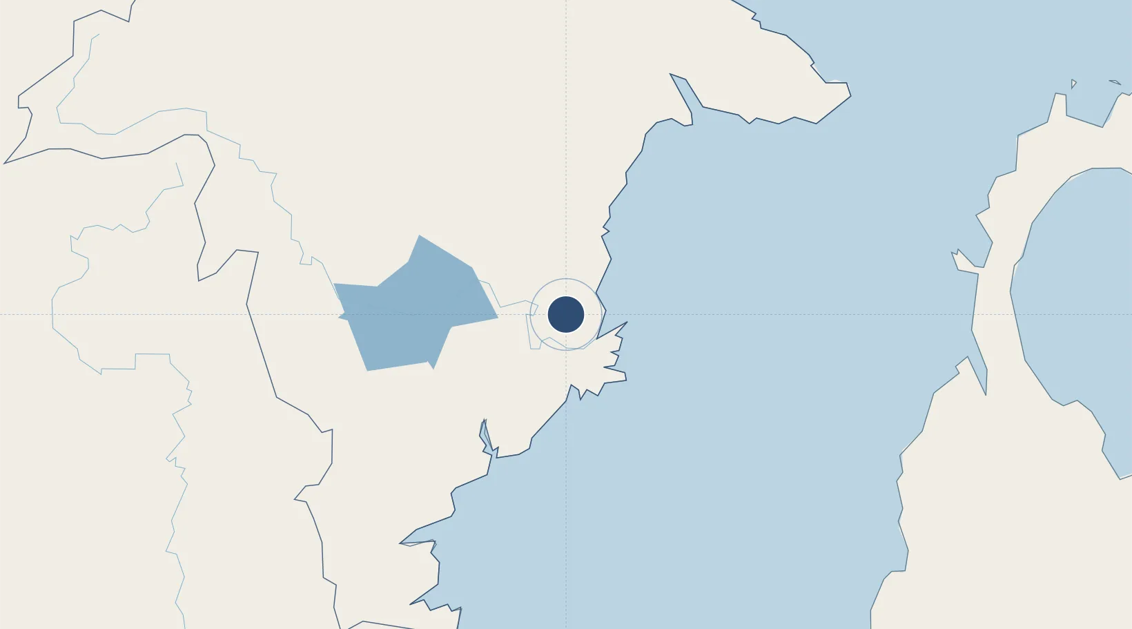
Location
Nearby Logistics Neighbours
Airports
- 1LNG Badak Airport61 km
- 2Sultan Aji Muhammad Sulaiman Sepinggan International Airport107 km
- 3Haji Muhammad Sidik Airport268 km
- 4Kalimarau Airport281 km
- 5Warukin Airport287 km
Cities
- 1Samarinda, Kalimantan20 km
- 2Tanjung Merangas54 km
- 3Senipah65 km
- 4Balikpapan101 km
- 5Kariangau102 km
Ports
- 1Samarinda22 km
- 2Tanjung Santan44 km
- 3Bontang Lng Terminal59 km
- 4Senipah Oil Terminal65 km
- 5Tanjung Sangata90 km
Trade Zones
DatabookThe Record of Consolidated Knowledge
Indonesia beyond logistics?