Transport Functions
Port
Road
Hub Profile
Place type
Populated place
Region
East Kalimantan
Time zone
Asia/Makassar
Elevation
10 m
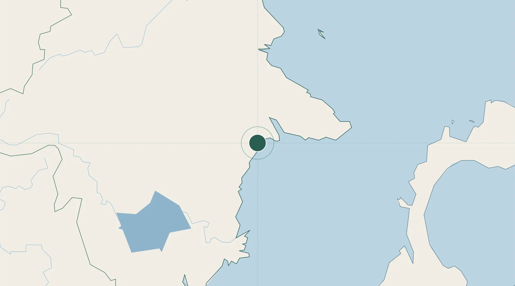
Location
Nearby Logistics Neighbours
Cities
- 1Tanjung Merangas85 km
- 2Suaran143 km
- 3Mangkajang152 km
- 4Samarinda, Kalimantan158 km
- 5Senipah202 km
Ports
- 1Tanjung Sangata48 km
- 2Bontang Lng Terminal79 km
- 3Tanjung Santan99 km
- 4Samarinda158 km
- 5Senipah Oil Terminal201 km
Airports
Trade Zones
DatabookThe Record of Consolidated Knowledge
Indonesia beyond logistics?