Channel & Berth Profile
Pilotage, Tugs & Services
Pilotage compulsoryYES
Pilotage availableYES
Pilotage advisableYES
Tug assistanceYES
Shore powerNO
Diesel bunkersNO
MedicalNO
Facilities & Capabilities
Container—
Ro-Ro—
Liquid bulk—
Dry bulk—
Oil terminal—
Break bulk—
Dry dock—
Repairs—
BunkeringNO
Rail link—
Dangerous cargo—
ISPS security—
Harbour Specifications
Harbour size
Very Small
Harbour type
Coastal (Natural)
Shelter
Poor
Water body
Makassar Strait; South Pacific Ocean
Pilotage
Yes
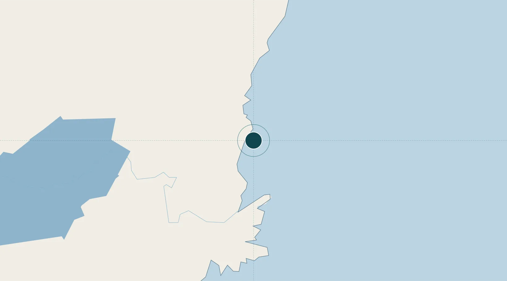
Location
Nearby Logistics Neighbours
Ports
- 1Bontang Lng Terminal23 km
- 2Tanjung Sangata52 km
- 3Samarinda66 km
- 4Senipah Oil Terminal103 km
- 5Balikpapan151 km
Cities
- 1Tanjung Merangas15 km
- 2Samarinda, Kalimantan63 km
- 3Lubuk Tutung99 km
- 4Senipah104 km
- 5Balikpapan144 km
Airports
Trade Zones
DatabookThe Record of Consolidated Knowledge
Indonesia beyond logistics?