UN/LOCODE hub · Indonesia
IDTME

Tanjung Merangas

0.0333°, 117.5167°
1
Transport functions

Transport Functions

Port
UN/LOCODE

Hub Profile

Region
KI
GeoNames

Location

Location of IDTME
Natural Earth 10m (public domain) · KI · IDTME · 0.03, 117.52GoogleOSMYandex

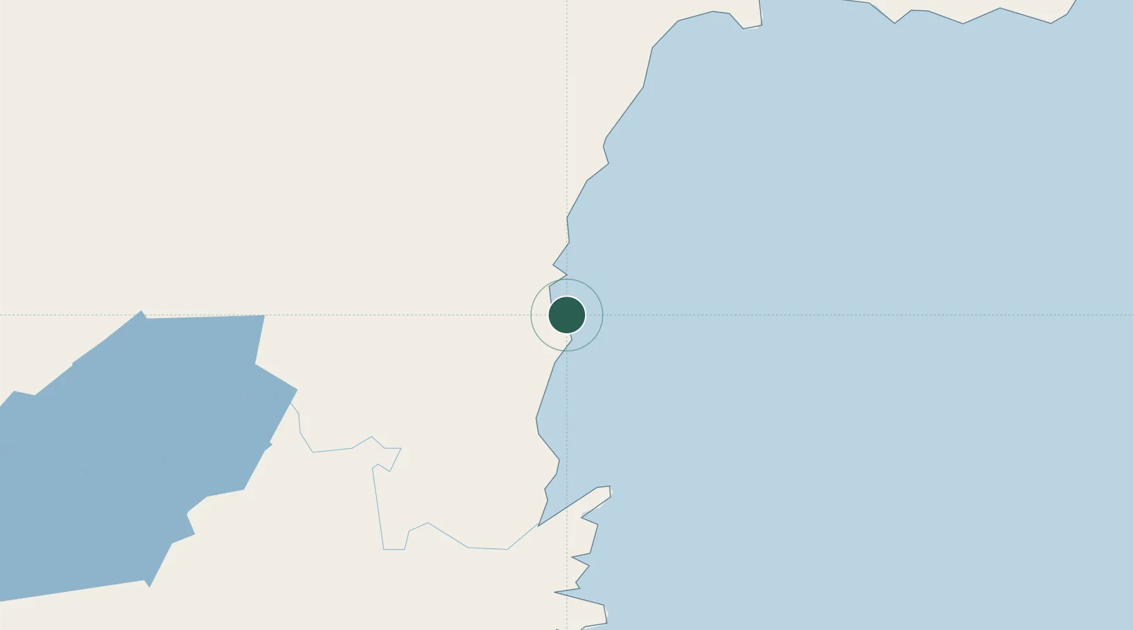
Nearby Logistics Neighbours

Cities
  1. 1Samarinda, Kalimantan74 km
  2. 2Lubuk Tutung85 km
  3. 3Senipah117 km
  4. 4Balikpapan155 km
  5. 5Kariangau156 km
Nearest neighbours — logibook spatial index (haversine) over the source coordinates
Ports
  1. 1Bontang Lng Terminal8 km
  2. 2Tanjung Santan15 km
  3. 3Tanjung Sangata38 km
  4. 4Samarinda76 km
  5. 5Senipah Oil Terminal116 km
Nearest neighbours — logibook spatial index (haversine) over the source coordinates
Airports
  1. 1LNG Badak Airport11 km
  2. 2Aji Pangeran Tumenggung Pranoto International Airport54 km
  3. 3Sultan Aji Muhammad Sulaiman Sepinggan International Airport160 km
  4. 4Kalimarau Airport235 km
  5. 5Mutiara - SIS Al-Jufrie Airport286 km
Nearest neighbours — logibook spatial index (haversine) over the source coordinates
Trade Zones
  1. 1Kaltim Industrial Estate17 km
  2. 2Maloy Batuta Trans Kalimantan Special Economic Zone99 km
  3. 3Delma Industrial Park135 km
  4. 4Kariangau Industrial Estate164 km
  5. 5Muara Wahau Industrial Park191 km
Nearest neighbours — logibook spatial index (haversine) over the source coordinates
DatabookThe Record of Consolidated Knowledge
Indonesia beyond logistics?
Browse databook

All Sources

LocationsUN/LOCODE
UN/LOCODE — free
Portsthe NGA World Port Index
Public domain (US gov)
AirportsOurAirports
Public domain
Trade Zonesthe World Bank SEZ database
CC BY 4.0
Trade ZonesOpen Zone Map
CC BY
← Indonesia locations