Medium airport · Indonesia

Kalimarau AirportWAQT
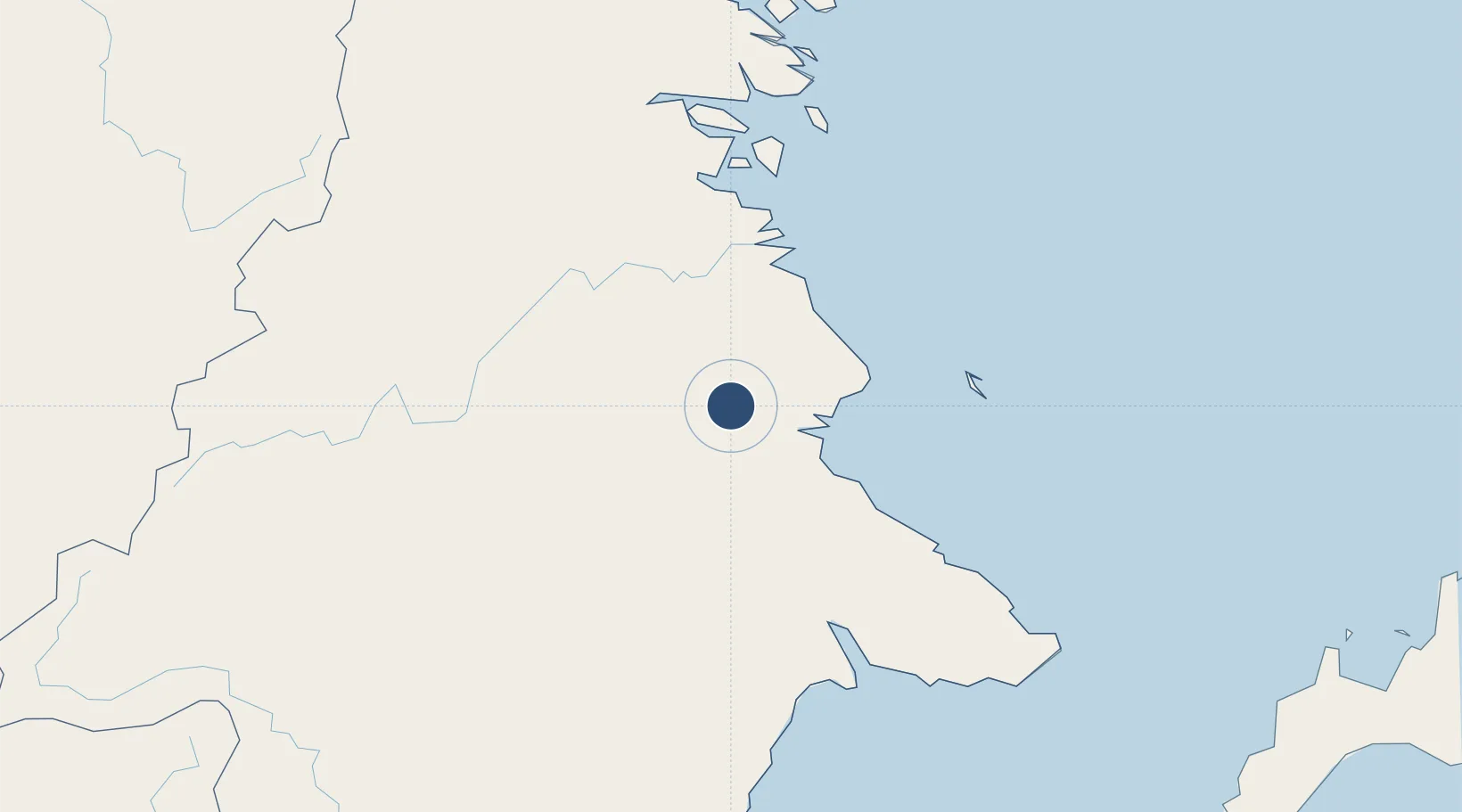
2.1478°, 117.4307°
4,625 ft
Longest runway
1
Runways
59 ft
Elevation

Runway & Layout

Kalimarau Airport runway & taxiway layout
Runway & taxiway layout — OpenStreetMap (ODbL) / OurAirports

Radio Frequencies

RDO
808.25 MHz
OurAirports

Navaids

KM NDB Kalimaru 232 kHz
OurAirports

Runways · 1

RunwayDimensions SurfaceTrue headingLit
01/19 4,625 × 75ft Asphalt 014°
OurAirports

Airport Specifications

IATA code
BEJ
OurAirports
ICAO code
WAQT
OurAirports
Airport class
Medium airport
OurAirports
Scheduled service
Yes
OurAirports
Runway surface
Asphalt
OurAirports
Served city
Tanjung Redeb - Borneo Island
OurAirports

Location

Location of WAQT
Natural Earth 10m (public domain) · Kalimantan Timur · WAQT · 2.15, 117.43GoogleOSMYandex

Nearby Logistics Neighbours

Airports
  1. 1Tanjung Harapan Airport77 km
  2. 2Juwata International Airport / Suharnoko Harbani AFB132 km
  3. 3Robert Atty Bessing183 km
  4. 4LNG Badak Airport225 km
  5. 5Long Rungan239 km
Nearest neighbours — logibook spatial index (haversine) over the source coordinates
Cities
  1. 1Suaran32 km
  2. 2Mangkajang34 km
  3. 3Tarakan, Kalimantan128 km
  4. 4Bunyu156 km
  5. 5Lubuk Tutung157 km
Nearest neighbours — logibook spatial index (haversine) over the source coordinates
Ports
  1. 1Tanjung Arang (Bunyu)153 km
  2. 2Tanjung Sangata199 km
  3. 3Bontang Lng Terminal228 km
  4. 4Tawa239 km
  5. 5Mostyn296 km
Nearest neighbours — logibook spatial index (haversine) over the source coordinates
Trade Zones
  1. 1Muara Wahau Industrial Park130 km
  2. 2Maloy Batuta Trans Kalimantan Special Economic Zone158 km
  3. 3Delma Industrial Park211 km
  4. 4Kaltim Industrial Estate219 km
  5. 5Kariangau Industrial Estate386 km
Nearest neighbours — logibook spatial index (haversine) over the source coordinates
DatabookThe Record of Consolidated Knowledge
Indonesia beyond logistics?
Browse databook

All Sources

AirportsOurAirports
Public domain
Portsthe NGA World Port Index
Public domain (US gov)
LocationsUN/LOCODE
UN/LOCODE — free
Trade Zonesthe World Bank SEZ database
CC BY 4.0
Trade ZonesOpen Zone Map
CC BY
InfrastructureOpenStreetMap
ODbL 1.0
← Indonesia airports