UN/LOCODE hub · India
INCAG

Tata Steel SEZ/Ganjam

19.3833°, 85.0667°
1
Transport functions

Transport Functions

Multimodal
UN/LOCODE

Hub Profile

Region
OR
GeoNames

Location

Location of INCAG
Natural Earth 10m (public domain) · OR · INCAG · 19.38, 85.07GoogleOSMYandex

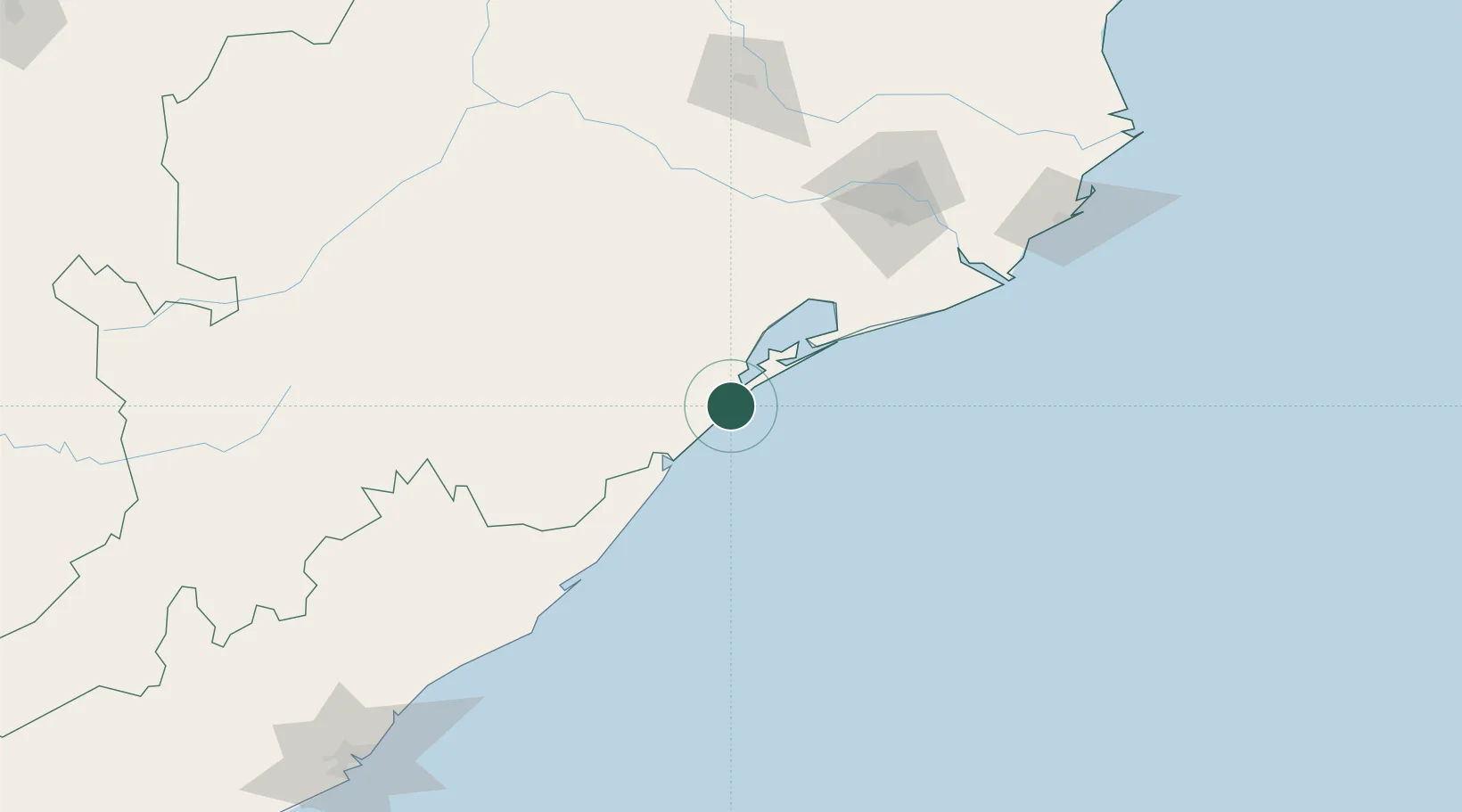
Nearby Logistics Neighbours

Cities
  1. 1Palasa97 km
  2. 2Orissa126 km
  3. 3Paradip Port186 km
  4. 4Paradip Garh194 km
  5. 5Ranasthalam196 km
Nearest neighbours — logibook spatial index (haversine) over the source coordinates
Ports
  1. 1Gopalpur14 km
  2. 2Paradip196 km
  3. 3Dhamra255 km
  4. 4Vishakhapatnam265 km
  5. 5Gangavaram273 km
Nearest neighbours — logibook spatial index (haversine) over the source coordinates
Airports
  1. 1Biju Patnaik International Airport124 km
  2. 2Utkela Airport213 km
  3. 3Visakhapatnam International Airport268 km
  4. 4Jharsuguda Airport301 km
  5. 5Jagdalpur Airport320 km
Nearest neighbours — logibook spatial index (haversine) over the source coordinates
Trade Zones
  1. 1Saraf Agencies private Limited13 km
  2. 2Hindalco Industries Limited129 km
  3. 3Orissa Industrial Development Corporation129 km
  4. 4Vedanta Aluminium Limited178 km
  5. 5Divi’s Laboratories Limited232 km
Nearest neighbours — logibook spatial index (haversine) over the source coordinates
DatabookThe Record of Consolidated Knowledge
India beyond logistics?
Browse databook

All Sources

LocationsUN/LOCODE
UN/LOCODE — free
Portsthe NGA World Port Index
Public domain (US gov)
AirportsOurAirports
Public domain
Trade Zonesthe World Bank SEZ database
CC BY 4.0
Trade ZonesOpen Zone Map
CC BY
← India locations