Specialized Zone · India
Indus Gene Expressions Limited Active
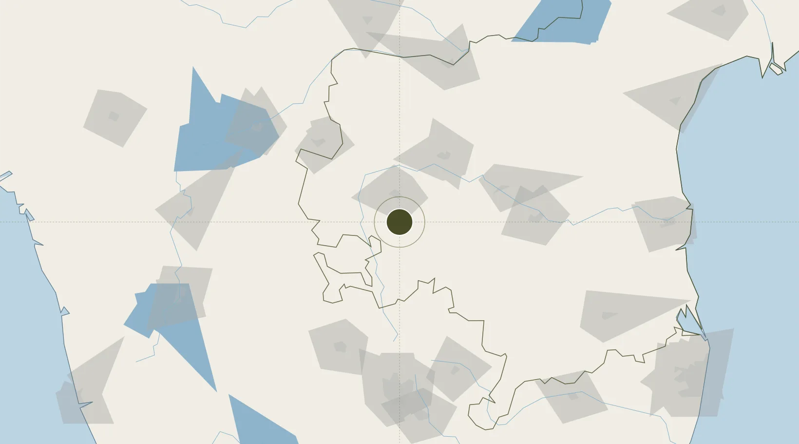
14.4543°, 77.6284°
11 ha
Zone area
270.8 km
Nearest port
38.2 km
Nearest airport
Gateway access
Zone profile
Zone type
Specialized Zone
Specialization
Biotech
Region
Andhra Pradesh
Status
Active
Management
Public
Operator
Indus Gene Expressions Ltd.
Legal framework
LoA No.9/217/SEZ/HYD dated 02.01.2014
Location
Nearby Logistics Neighbours
Ports
- 1Kattupalli Port271 km
- 2Kamarajar Port322 km
- 3Chennai (Madras)326 km
- 4New Mangalore349 km
- 5Belekeri363 km
Airports
- 1Sri Sathya Sai Airport38 km
- 2Bellary Airport112 km
- 3Kadapa Airport123 km
- 4Kempegowda International Airport Bengaluru140 km
- 5Kurnool Airport152 km
Cities
- 1Anantapur26 km
- 2Pulivendula65 km
- 3Hindupur73 km
- 4Wipro Sez/Kodathi125 km
- 5Toranagallu131 km
Trade Zones
- 1Kiadb Aerospace SEZ143 km
- 2Raagamayuri Builders Pvt.Ltd.146 km
- 3Larsen And Toubro SEZ156 km
- 4Manyata Embassy Business Park SEZ156 km
- 5Karle Infra Pojects157 km
DatabookThe Record of Consolidated Knowledge
India beyond logistics?