Seaport · India
New MangaloreINNML
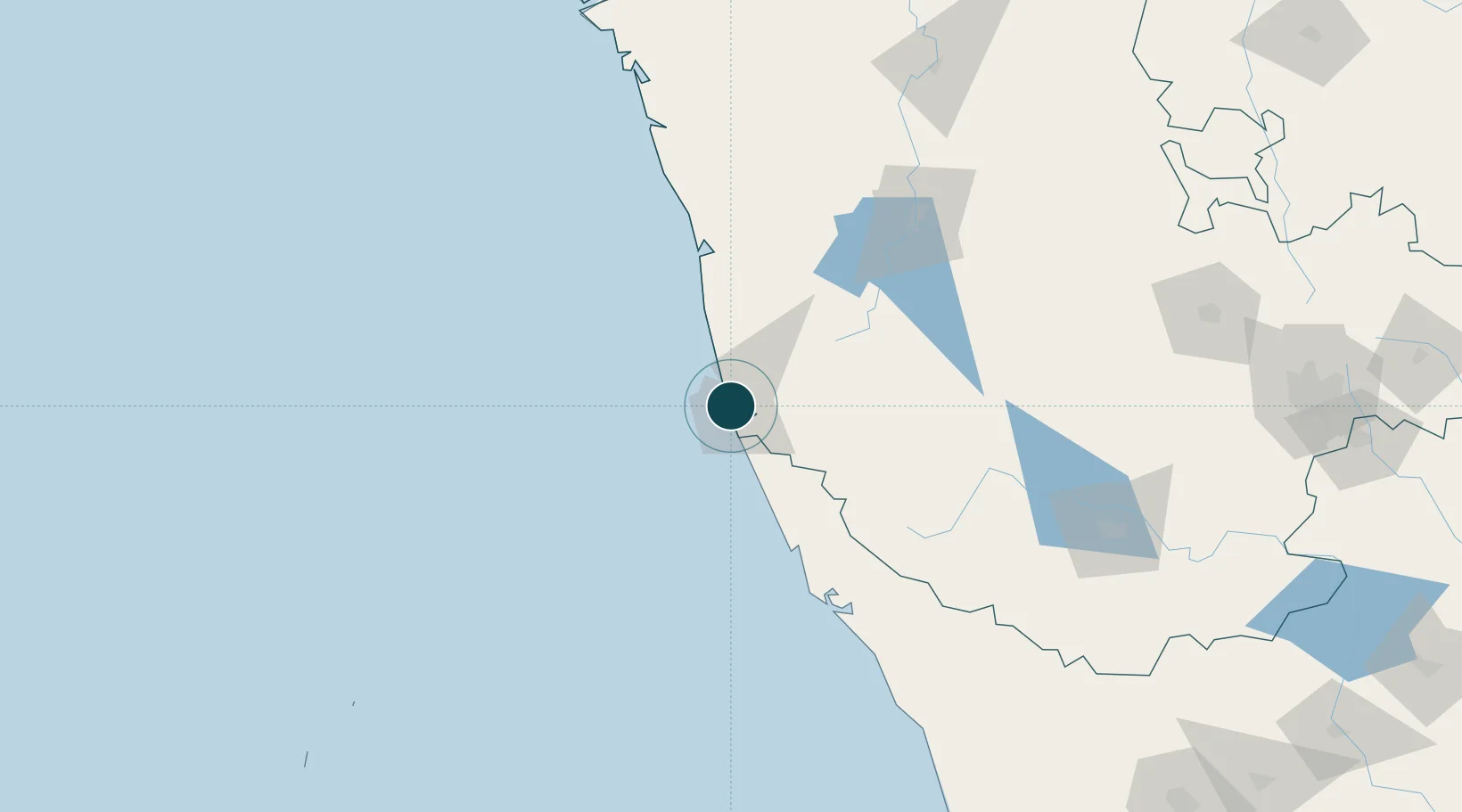
12.9167°, 74.8167°
14.0 m
Channel depth
14.1
Port liner connectivity
Channel & Berth Profile
Pilotage, Tugs & Services
Pilotage compulsoryYES
Pilotage availableYES
Pilotage advisableYES
Tug assistanceYES
Shore powerYES
Potable waterYES
Diesel bunkersYES
MedicalYES
Garbage disposalYES
Facilities & Capabilities
Container—
Ro-Ro—
Liquid bulk—
Dry bulk—
Oil terminal—
Break bulk—
Dry dock—
RepairsNO
BunkeringYES
Rail linkYES
Dangerous cargo—
ISPS security—
Harbour Specifications
Harbour size
Medium
Harbour type
Coastal (Breakwater)
Shelter
Fair
Water body
Laccadive Sea; Indian Ocean
Tidal range
2 m
Overhead limit
No
Pilotage
Yes
Liner Connectivity
14.1
PLSCI
Port Liner Shipping Connectivity Index for New Mangalore, as published by UNCTAD for the latest available quarter. Higher values indicate stronger scheduled liner-shipping integration.
Shown relative to the highest per-port PLSCI in the dataset (1,657.9).
Location
Nearby Logistics Neighbours
Ports
- 1Azhikal (Azhikkal)121 km
- 2Belekeri207 km
- 3Calicut (Kozhikode)212 km
- 4Beypore222 km
- 5Karwar224 km
Cities
- 1Mangalore3 km
- 2Mangalore9 km
- 3Mangalore SEZ9 km
- 4Synefra-SEZ/Udupi49 km
- 5Payyannur100 km
Airports
- 1Mangaluru International Airport9 km
- 2Rashtrakavi Kuvempu Airport136 km
- 3Kannur International Airport137 km
- 4Mysore Airport214 km
- 5Calicut International Airport234 km
DatabookThe Record of Consolidated Knowledge
India beyond logistics?