Medium airport · India
Bellary AirportVOBI
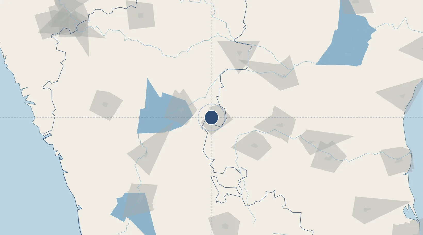
15.1628°, 76.8828°
3,630 ft
Longest runway
1
Runways
30 ft
Elevation
Runway & Layout

Runways · 1
| Runway | Dimensions | Surface | True heading | Lit |
|---|---|---|---|---|
| 12/30 | 3,630 × 50ft | Asphalt | 123° | — |
Airport Specifications
IATA code
BEP
ICAO code
VOBI
Airport class
Medium airport
Scheduled service
No
Runway surface
Asphalt
Served city
Bellary
Location
Nearby Logistics Neighbours
Airports
- 1Sri Sathya Sai Airport149 km
- 2Kurnool Airport151 km
- 3Hubballi Airport194 km
- 4Rashtrakavi Kuvempu Airport199 km
- 5Kadapa Airport215 km
Cities
- 1Toranagallu22 km
- 2Hospet53 km
- 3Anantapur94 km
- 4Mulgund145 km
- 5Tumkur150 km
Ports
- 1Belekeri286 km
- 2Karwar300 km
- 3Panaji331 km
- 4Marmagao332 km
- 5New Mangalore335 km
Trade Zones
- 1Indus Gene Expressions Limited112 km
- 2Raagamayuri Builders Pvt.Ltd.138 km
- 3Keonics Shimoga195 km
- 4Apiic Pharma SEZ - Jedcherla223 km
- 5Kiadb Aerospace SEZ239 km
DatabookThe Record of Consolidated Knowledge
India beyond logistics?