Transport Functions
Multimodal
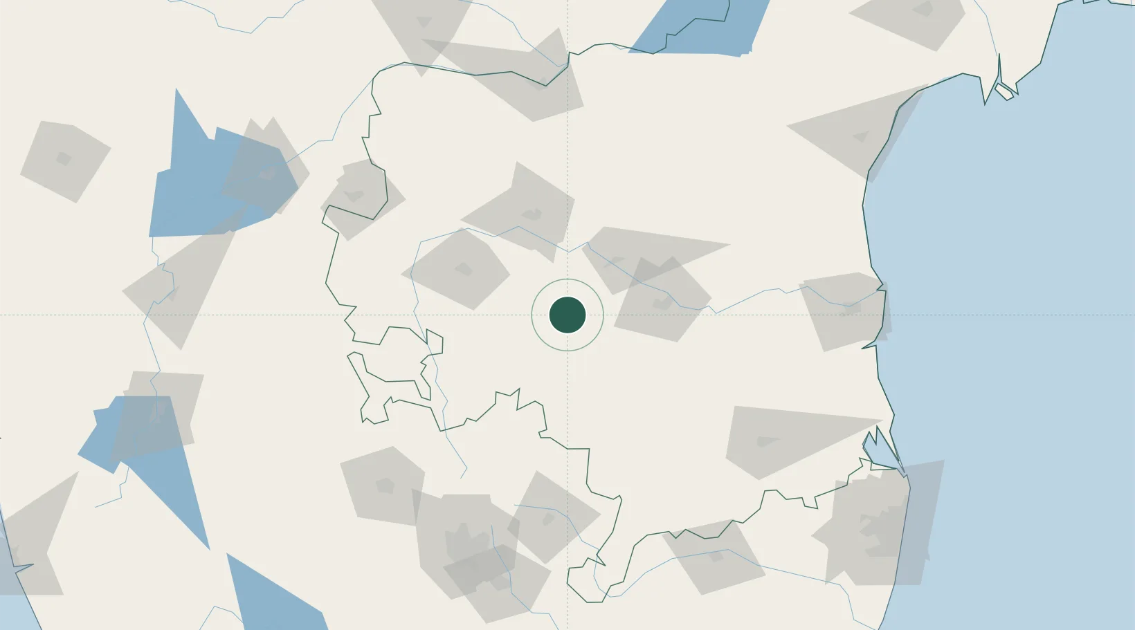
Hub Profile
Region
AP
Location
Nearby Logistics Neighbours
Cities
- 1Anantapur74 km
- 2Hindupur105 km
- 3Wipro Sez/Kodathi106 km
- 4Cclpil Sez/Visakhapatnam159 km
- 5Bangarapet160 km
Ports
- 1Kattupalli Port206 km
- 2Kamarajar Port262 km
- 3Chennai (Madras)267 km
- 4Pondicherry326 km
- 5Cuddalore343 km
Airports
- 1Sri Sathya Sai Airport56 km
- 2Kadapa Airport59 km
- 3Kurnool Airport145 km
- 4Kempegowda International Airport Bengaluru147 km
- 5Jakkur Aerodrome164 km
Trade Zones
- 1Indus Gene Expressions Limited65 km
- 2Raagamayuri Builders Pvt.Ltd.145 km
- 3Kiadb Aerospace SEZ148 km
- 4Larsen And Toubro SEZ166 km
- 5Manyata Embassy Business Park SEZ166 km
DatabookThe Record of Consolidated Knowledge
India beyond logistics?