Transport Functions
Multimodal
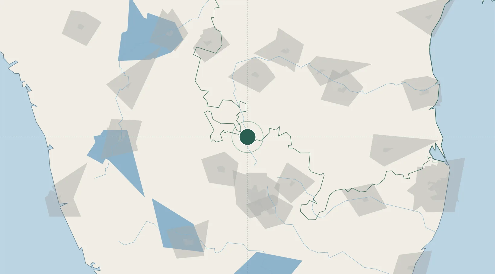
Hub Profile
Place type
Populated place
Region
Andhra Pradesh
Population
151,677
Time zone
Asia/Kolkata
Elevation
630 m
Location
Nearby Logistics Neighbours
Cities
Ports
- 1Kattupalli Port290 km
- 2New Mangalore305 km
- 3Azhikal (Azhikkal)314 km
- 4Chennai (Madras)315 km
- 5Kamarajar Port315 km
Airports
- 1Sri Sathya Sai Airport50 km
- 2Kempegowda International Airport Bengaluru73 km
- 3Jakkur Aerodrome83 km
- 4HAL Airport98 km
- 5Kadapa Airport159 km
Trade Zones
DatabookThe Record of Consolidated Knowledge
India beyond logistics?