Large airport · India
Kempegowda International Airport BengaluruVOBL
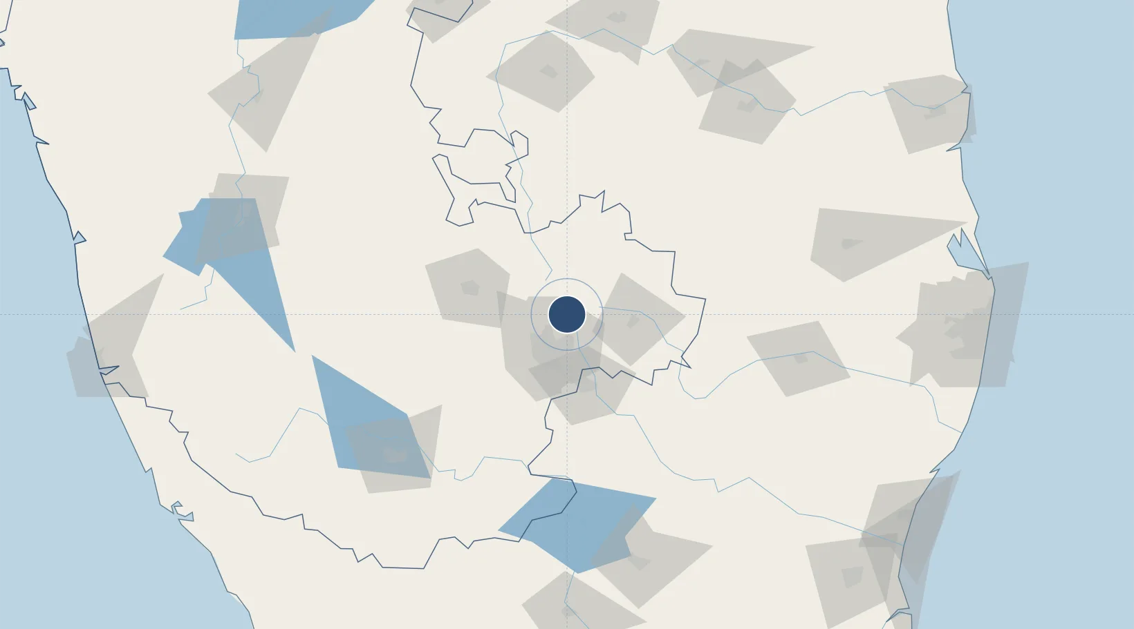
13.1979°, 77.7063°
13,123 ft
Longest runway
2
Runways
3,000 ft
Elevation
Runway & Layout

Radio Frequencies
ATIS
128.675 MHz
TOWER
124.35 MHz
APP
121.25 MHz
DELIVERY
121.82 MHz
SMC
121.65 MHz
Runways · 2
| Runway | Dimensions | Surface | True heading | Lit |
|---|---|---|---|---|
| 09L/27R | 13,123 × 148ft | Asphalt | — | ✓ |
| 09R/27L | 13,123 × 148ft | Asphalt | 092° | ✓ |
Airport Specifications
IATA code
BLR
ICAO code
VOBL
Airport class
Large airport
Scheduled service
Yes
Runway surface
Asphalt
Served city
Bengaluru
Location
Nearby Logistics Neighbours
Airports
- 1Jakkur Aerodrome18 km
- 2HAL Airport28 km
- 3Sri Sathya Sai Airport106 km
- 4Mysore Airport157 km
- 5Salem Airport162 km
Cities
- 1Modern Asset Sezi/Yelahanka Hobli15 km
- 2Modern Asset Sezii/Yelahanka Hobli16 km
- 3Bbrel Sez/Kundalahalli17 km
- 4Bangalore21 km
- 5Itpl Sezii/Whitefield26 km
Ports
- 1Pondicherry270 km
- 2Cuddalore278 km
- 3Chennai (Madras)281 km
- 4Kamarajar Port285 km
- 5Kattupalli Port287 km
Trade Zones
- 1Kiadb Aerospace SEZ4 km
- 2Larsen And Toubro SEZ19 km
- 3Manyata Embassy Business Park SEZ19 km
- 4Karle Infra Pojects20 km
- 5Karle Projects20 km
DatabookThe Record of Consolidated Knowledge
India beyond logistics?