Specialized Zone · India

Manyata Embassy Business Park SEZ Active
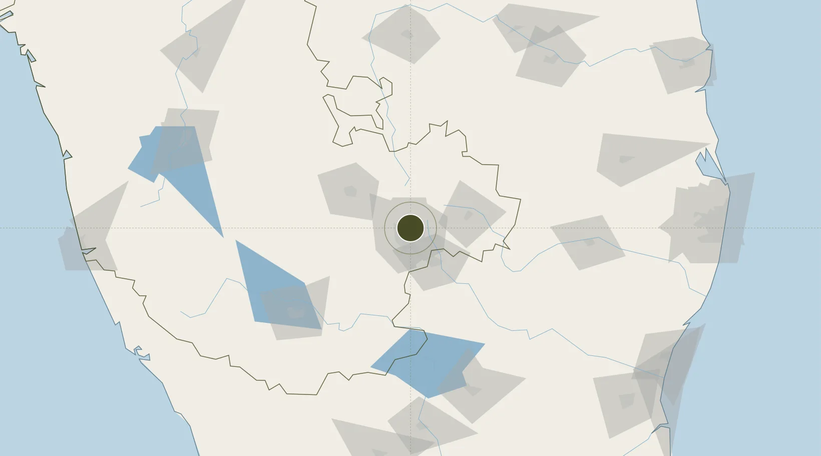
13.0481°, 77.6222°
44 ha
Zone area
270.2 km
Nearest port
4.1 km
Nearest airport

Gateway access

Nearest neighbours — logibook spatial index (haversine) over the source coordinates

Zone profile

Zone type
Specialized Zone
Open Zone Map
Specialization
IT
Open Zone Map
Region
Karnataka
Open Zone Map
Status
Active
Open Zone Map
Management
Private
Open Zone Map
Operator
Embassy Group
Open Zone Map
Legal framework
Ministry's Letter No. F.2/96/2005-EPZ/386
Open Zone Map

Location

Location of ozm-2263
Natural Earth 10m (public domain) · Karnataka · ozm-2263 · 13.05, 77.62GoogleOSMYandex

Nearby Logistics Neighbours

Ports
  1. 1Pondicherry270 km
  2. 2Cuddalore276 km
  3. 3Azhikal (Azhikkal)279 km
  4. 4Calicut (Kozhikode)284 km
  5. 5Beypore288 km
Nearest neighbours — logibook spatial index (haversine) over the source coordinates
Airports
  1. 1Jakkur Aerodrome4 km
  2. 2HAL Airport12 km
  3. 3Kempegowda International Airport Bengaluru19 km
  4. 4Sri Sathya Sai Airport124 km
  5. 5Mysore Airport139 km
Nearest neighbours — logibook spatial index (haversine) over the source coordinates
Cities
  1. 1Modern Asset Sezi/Yelahanka Hobli6 km
  2. 2Modern Asset Sezii/Yelahanka Hobli6 km
  3. 3Bbrel Sez/Kundalahalli7 km
  4. 4Kbits-SEZ/Bangalore8 km
  5. 5GOCL SEZ/Bangalore8 km
Nearest neighbours — logibook spatial index (haversine) over the source coordinates
Trade Zones
  1. 1Larsen And Toubro SEZ0 km
  2. 2Karle Infra Pojects1 km
  3. 3Karle Projects1 km
  4. 4M s. Renaissance Designbuild Private Limited8 km
  5. 5Brigade Enterprises Pvt.Ltd.8 km
Nearest neighbours — logibook spatial index (haversine) over the source coordinates
DatabookThe Record of Consolidated Knowledge
India beyond logistics?
Browse databook

All Sources

Trade ZonesOpen Zone Map
CC BY
Portsthe NGA World Port Index
Public domain (US gov)
AirportsOurAirports
Public domain
LocationsUN/LOCODE
UN/LOCODE — free
← India trade zones