Transport Functions
Multimodal
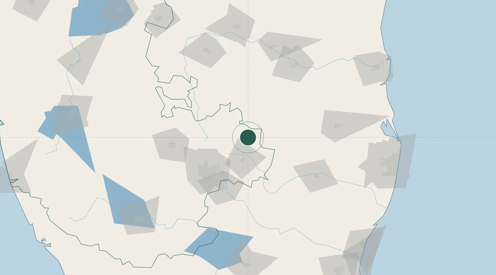
Hub Profile
Region
KA
Location
Nearby Logistics Neighbours
Cities
- 1Bangarapet54 km
- 2Bangalore69 km
- 3Bbrel Sez/Kundalahalli71 km
- 4Itpl Sezii/Whitefield73 km
- 5Modern Asset Sezi/Yelahanka Hobli74 km
Ports
- 1Kattupalli Port228 km
- 2Chennai (Madras)233 km
- 3Kamarajar Port235 km
- 4Pondicherry247 km
- 5Cuddalore260 km
Airports
- 1Kempegowda International Airport Bengaluru60 km
- 2Jakkur Aerodrome77 km
- 3HAL Airport80 km
- 4Sri Sathya Sai Airport87 km
- 5Kadapa Airport132 km
Trade Zones
- 1Kiadb Aerospace SEZ59 km
- 2International Technology Park Ltd (Itpl)72 km
- 3Ittina Properties Pvt. Ltd.73 km
- 4Divyasree Technopark74 km
- 5Bagmane SEZ76 km
DatabookThe Record of Consolidated Knowledge
India beyond logistics?