Specialized Zone · India
Kiadb Aerospace SEZ Active
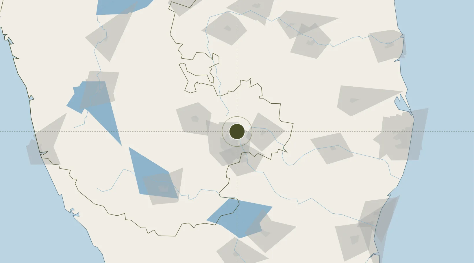
13.1742°, 77.7313°
101 ha
Zone area
266.6 km
Nearest port
3.8 km
Nearest airport
Gateway access
Zone profile
Zone type
Specialized Zone
Specialization
Aerospace
Region
Karnataka
Status
Active
Management
Private
Operator
Karnataka Industrial Area Development Board
Legal framework
Proceedings of Gov't of Karnataka: Sutbstate Policy for Special Economic Zones – 2009
Location
Nearby Logistics Neighbours
Ports
- 1Pondicherry267 km
- 2Cuddalore274 km
- 3Chennai (Madras)278 km
- 4Kamarajar Port283 km
- 5Kattupalli Port286 km
Airports
- 1Kempegowda International Airport Bengaluru4 km
- 2Jakkur Aerodrome18 km
- 3HAL Airport26 km
- 4Sri Sathya Sai Airport109 km
- 5Mysore Airport157 km
Cities
- 1Bbrel Sez/Kundalahalli15 km
- 2Modern Asset Sezi/Yelahanka Hobli15 km
- 3Modern Asset Sezii/Yelahanka Hobli16 km
- 4Bangalore18 km
- 5Itpl Sezii/Whitefield23 km
Trade Zones
- 1Larsen And Toubro SEZ18 km
- 2Manyata Embassy Business Park SEZ18 km
- 3Karle Infra Pojects19 km
- 4Karle Projects19 km
- 5Ittina Properties Pvt. Ltd.20 km
DatabookThe Record of Consolidated Knowledge
India beyond logistics?