UN/LOCODE hub · India
INKTK

Toranagallu

15.2000°, 76.6833°
2
Transport functions

Transport Functions

Port
Multimodal
UN/LOCODE

Hub Profile

Region
KA
GeoNames

Location

Location of INKTK
Natural Earth 10m (public domain) · KA · INKTK · 15.20, 76.68GoogleOSMYandex

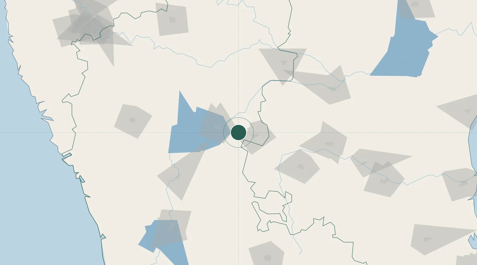
Nearby Logistics Neighbours

Cities
  1. 1Hospet31 km
  2. 2Anantapur114 km
  3. 3Mulgund124 km
  4. 4Badami134 km
  5. 5Tumkur151 km
Nearest neighbours — logibook spatial index (haversine) over the source coordinates
Ports
  1. 1Belekeri266 km
  2. 2Karwar279 km
  3. 3Panaji309 km
  4. 4Marmagao311 km
  5. 5New Mangalore324 km
Nearest neighbours — logibook spatial index (haversine) over the source coordinates
Airports
  1. 1Bellary Airport22 km
  2. 2Sri Sathya Sai Airport167 km
  3. 3Kurnool Airport169 km
  4. 4Hubballi Airport173 km
  5. 5Rashtrakavi Kuvempu Airport188 km
Nearest neighbours — logibook spatial index (haversine) over the source coordinates
Trade Zones
  1. 1Indus Gene Expressions Limited131 km
  2. 2Raagamayuri Builders Pvt.Ltd.156 km
  3. 3Keonics Shimoga184 km
  4. 4Apiic Pharma SEZ - Jedcherla234 km
  5. 5Kiadb Aerospace SEZ252 km
Nearest neighbours — logibook spatial index (haversine) over the source coordinates
DatabookThe Record of Consolidated Knowledge
India beyond logistics?
Browse databook

All Sources

LocationsUN/LOCODE
UN/LOCODE — free
Portsthe NGA World Port Index
Public domain (US gov)
AirportsOurAirports
Public domain
Trade Zonesthe World Bank SEZ database
CC BY 4.0
Trade ZonesOpen Zone Map
CC BY
← India locations