Channel & Berth Profile
Pilotage, Tugs & Services
Pilotage compulsoryNO
Pilotage availableYES
Potable waterYES
Diesel bunkersNO
MedicalYES
Facilities & Capabilities
Container—
Ro-Ro—
Liquid bulk—
Dry bulk—
Oil terminal—
Break bulk—
Dry dock—
RepairsNO
BunkeringNO
Rail linkYES
Dangerous cargo—
ISPS security—
Harbour Specifications
Harbour size
Very Small
Harbour type
Open Roadstead
Water body
Arabian Sea; Indian Ocean
Overhead limit
No
Pilotage
No
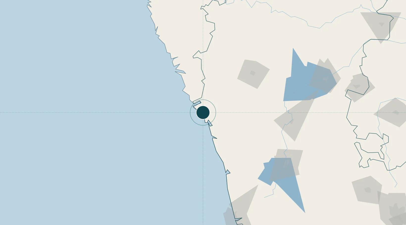
Location
Nearby Logistics Neighbours
Ports
- 1Karwar21 km
- 2Marmagao95 km
- 3Panaji101 km
- 4New Mangalore207 km
- 5Ratnagiri275 km
Cities
- 1Tadri22 km
- 2New Mangalore28 km
- 3Madgaon56 km
- 4Balli57 km
- 5Verna82 km
Airports
- 1Goa Dabolim International Airport89 km
- 2Hubballi Airport114 km
- 3Manohar International Airport124 km
- 4Belagavi Airport134 km
- 5Sindhudurg Airport165 km
Trade Zones
DatabookThe Record of Consolidated Knowledge
India beyond logistics?