Specialized Zone · India

Karle Infra Pojects Active

13.0451°, 77.6130°
11 ha
Zone area
270.9 km
Nearest port
3.9 km
Nearest airport

Gateway access

Nearest neighbours — logibook spatial index (haversine) over the source coordinates

Zone profile

Zone type
Specialized Zone
Open Zone Map
Specialization
IT
Open Zone Map
Region
Karnataka
Open Zone Map
Status
Active
Open Zone Map
Management
Private
Open Zone Map
Operator
Karle Infrastructure Projects
Open Zone Map
Legal framework
Proceedings of Gov't of Karnataka: Sutbstate Policy for Special Economic Zones – 2009
Open Zone Map

Location

Location of ozm-2216
Natural Earth 10m (public domain) · Karnataka · ozm-2216 · 13.05, 77.61GoogleOSMYandex

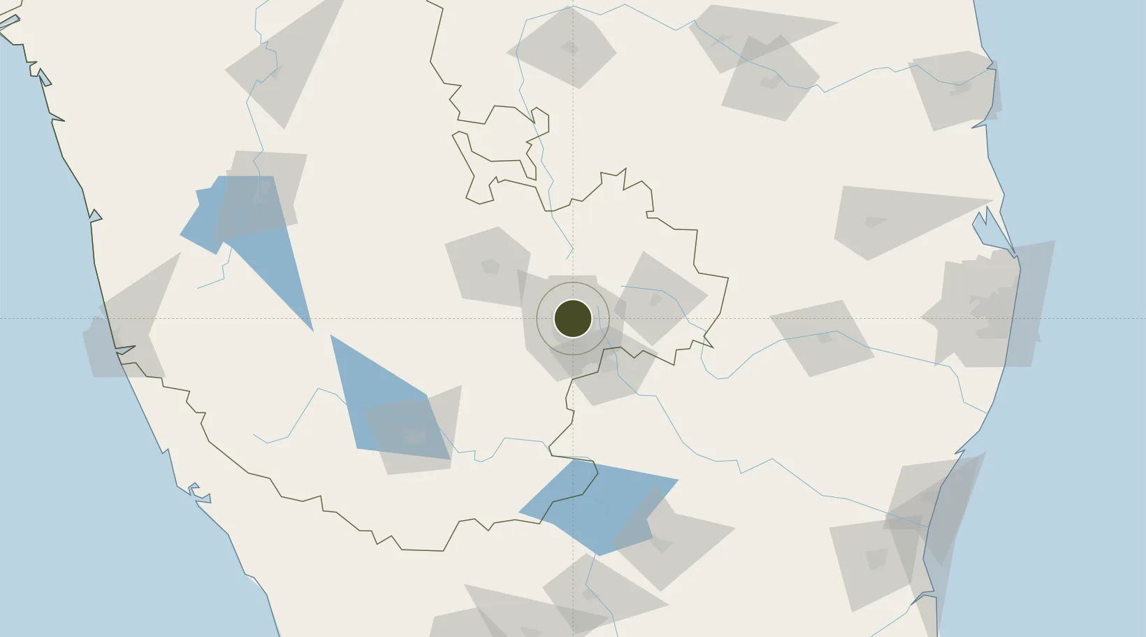
Nearby Logistics Neighbours

Ports
  1. 1Pondicherry271 km
  2. 2Cuddalore277 km
  3. 3Azhikal (Azhikkal)278 km
  4. 4Calicut (Kozhikode)283 km
  5. 5Beypore287 km
Nearest neighbours — logibook spatial index (haversine) over the source coordinates
Airports
  1. 1Jakkur Aerodrome4 km
  2. 2HAL Airport12 km
  3. 3Kempegowda International Airport Bengaluru20 km
  4. 4Sri Sathya Sai Airport124 km
  5. 5Mysore Airport138 km
Nearest neighbours — logibook spatial index (haversine) over the source coordinates
Cities
  1. 1Modern Asset Sezi/Yelahanka Hobli6 km
  2. 2Modern Asset Sezii/Yelahanka Hobli6 km
  3. 3Kbits-SEZ/Bangalore8 km
  4. 4GOCL SEZ/Bangalore8 km
  5. 5Biocon-SEZ/Bangalore8 km
Nearest neighbours — logibook spatial index (haversine) over the source coordinates
Trade Zones
  1. 1Karle Projects0 km
  2. 2Larsen And Toubro SEZ1 km
  3. 3Manyata Embassy Business Park SEZ1 km
  4. 4M s. Renaissance Designbuild Private Limited7 km
  5. 5Brigade Enterprises Pvt.Ltd.7 km
Nearest neighbours — logibook spatial index (haversine) over the source coordinates
DatabookThe Record of Consolidated Knowledge
India beyond logistics?
Browse databook

All Sources

Trade ZonesOpen Zone Map
CC BY
Portsthe NGA World Port Index
Public domain (US gov)
AirportsOurAirports
Public domain
LocationsUN/LOCODE
UN/LOCODE — free
← India trade zones