Specialized Zone · India

Raagamayuri Builders Pvt.Ltd. Active
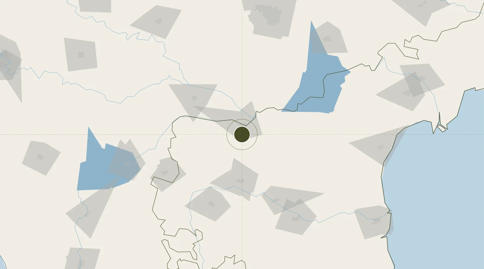
15.7045°, 78.0397°
12 ha
Zone area
277.0 km
Nearest port
13.9 km
Nearest airport

Gateway access

Nearest neighbours — logibook spatial index (haversine) over the source coordinates

Zone profile

Zone type
Specialized Zone
Open Zone Map
Specialization
IT
Open Zone Map
Region
Andhra Pradesh
Open Zone Map
Status
Active
Open Zone Map
Management
Private
Open Zone Map
Operator
Raagamayuri Builders Private Limited
Open Zone Map
Legal framework
Notification S.O. 1017(E)
Open Zone Map

Location

Location of ozm-2225
Natural Earth 10m (public domain) · Andhra Pradesh · ozm-2225 · 15.70, 78.04GoogleOSMYandex

Nearby Logistics Neighbours

Ports
  1. 1Kattupalli Port277 km
  2. 2Kamarajar Port368 km
  3. 3Chennai (Madras)378 km
  4. 4Belekeri420 km
  5. 5Karwar432 km
Nearest neighbours — logibook spatial index (haversine) over the source coordinates
Airports
  1. 1Kurnool Airport14 km
  2. 2Bellary Airport138 km
  3. 3Kadapa Airport154 km
  4. 4Rajiv Gandhi International Airport175 km
  5. 5Sri Sathya Sai Airport175 km
Nearest neighbours — logibook spatial index (haversine) over the source coordinates
Cities
  1. 1APIICL-SEZ/Mahabaoobnagar115 km
  2. 2Anantapur123 km
  3. 3Tumkur135 km
  4. 4Balanagar141 km
  5. 5Pulivendula145 km
Nearest neighbours — logibook spatial index (haversine) over the source coordinates
Trade Zones
  1. 1Apiic Pharma SEZ - Jedcherla118 km
  2. 2Indus Gene Expressions Limited146 km
  3. 3Jt Holdings Pvt Ltd, Rr Dist.164 km
  4. 4GMR Hyderabad International Airport Limted176 km
  5. 5TCSl Ltd, Adibatla179 km
Nearest neighbours — logibook spatial index (haversine) over the source coordinates
DatabookThe Record of Consolidated Knowledge
India beyond logistics?
Browse databook

All Sources

Trade ZonesOpen Zone Map
CC BY
Portsthe NGA World Port Index
Public domain (US gov)
AirportsOurAirports
Public domain
LocationsUN/LOCODE
UN/LOCODE — free
← India trade zones