Specialized Zone · India
Jawaharlal Nehru Pharma City Active
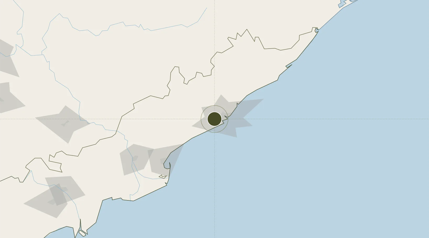
17.6622°, 83.0852°
247 ha
Zone area
17.8 km
Nearest port
16.6 km
Nearest airport
Gateway access
Zone profile
Zone type
Specialized Zone
Specialization
Biotech
Region
Andhra Pradesh
Status
Active
Management
Public-Private Partnership
Operator
Ramky Pharma City (India) Pvt. Ltd.
Legal framework
Andhra Pradesh Bill No. 51 of 2005
Location
Nearby Logistics Neighbours
Ports
- 1Gangavaram18 km
- 2Vishakhapatnam23 km
- 3Kakinada Bay110 km
- 4Gopalpur270 km
- 5Paradip477 km
Airports
- 1Visakhapatnam International Airport17 km
- 2Rajahmundry Airport149 km
- 3Jagdalpur Airport192 km
- 4Utkela Airport271 km
- 5Vijayawada International Airport273 km
Cities
- 1Gangavaram16 km
- 2Visakhapatnam17 km
- 3BIACPL SEZ/Visakhapatnam23 km
- 4APIICL SEZ/Visakhapatnam23 km
- 5RPCIPL SEZ/Visakhapatnam23 km
DatabookThe Record of Consolidated Knowledge
India beyond logistics?