Specialized Zone · India

GMR Hyderabad International Airport Limted Active
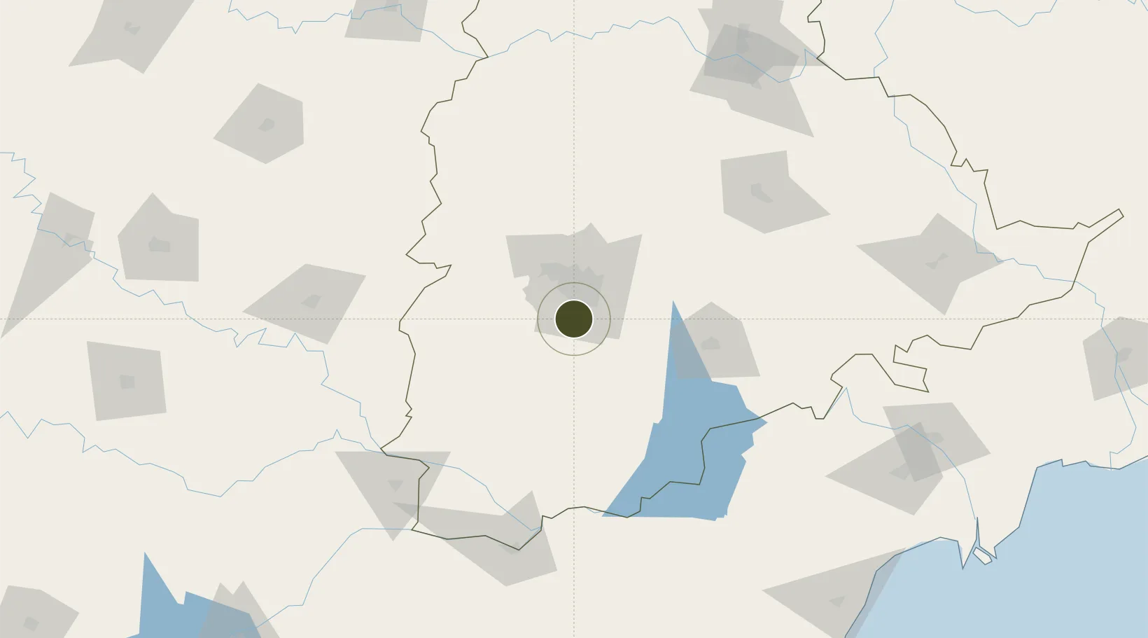
17.2382°, 78.4359°
102 ha
Zone area
378.7 km
Nearest port
1.0 km
Nearest airport

Gateway access

Nearest neighbours — logibook spatial index (haversine) over the source coordinates

Zone profile

Zone type
Specialized Zone
Open Zone Map
Specialization
Aerospace
Open Zone Map
Region
Telangana
Open Zone Map
Status
Active
Open Zone Map
Management
Public
Open Zone Map
Operator
GMR Hyderabad Export Processing Ltd.
Open Zone Map
Legal framework
Andhra Pradesh Bill No. 51 of 2005
Open Zone Map

Location

Location of ozm-2151
Natural Earth 10m (public domain) · Telangana · ozm-2151 · 17.24, 78.44GoogleOSMYandex

Nearby Logistics Neighbours

Ports
  1. 1Kattupalli Port379 km
  2. 2Kakinada Bay413 km
  3. 3Kamarajar Port487 km
  4. 4Chennai (Madras)502 km
  5. 5Gangavaram513 km
Nearest neighbours — logibook spatial index (haversine) over the source coordinates
Airports
  1. 1Rajiv Gandhi International Airport1 km
  2. 2Begumpet Airport24 km
  3. 3Dundigul Air Force Academy43 km
  4. 4Bidar Airport / Bidar Air Force Station125 km
  5. 5Kalaburagi Airport156 km
Nearest neighbours — logibook spatial index (haversine) over the source coordinates
Cities
  1. 1APIICL-SEZ/Ranga Reddy15 km
  2. 2Hgsezl-SEZ/Ranga Reddy15 km
  3. 3CMTL ICD/Thimmapur18 km
  4. 4Hyderabad28 km
  5. 5ITL SEZ/Ranga Reddy34 km
Nearest neighbours — logibook spatial index (haversine) over the source coordinates
Trade Zones
  1. 1Jt Holdings Pvt Ltd, Rr Dist.12 km
  2. 2TCSl Ltd, Adibatla14 km
  3. 3Apiic Ltd & L&T, Kesarapalli18 km
  4. 4Nsl SEZ, Uppal19 km
  5. 5DLF Commercial Developers Ltd, Gachibowli20 km
Nearest neighbours — logibook spatial index (haversine) over the source coordinates
DatabookThe Record of Consolidated Knowledge
India beyond logistics?
Browse databook

All Sources

Trade ZonesOpen Zone Map
CC BY
Portsthe NGA World Port Index
Public domain (US gov)
AirportsOurAirports
Public domain
LocationsUN/LOCODE
UN/LOCODE — free
← India trade zones