Specialized Zone · India

Jt Holdings Pvt Ltd, Rr Dist. Active
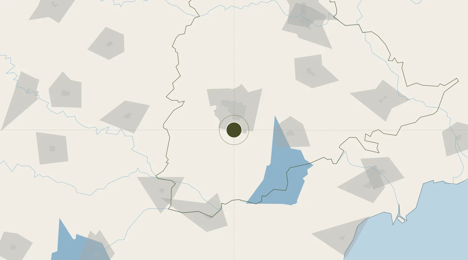
17.1349°, 78.4281°
28 ha
Zone area
369.1 km
Nearest port
10.7 km
Nearest airport

Gateway access

Nearest neighbours — logibook spatial index (haversine) over the source coordinates

Zone profile

Zone type
Specialized Zone
Open Zone Map
Specialization
IT
Open Zone Map
Region
Telangana
Open Zone Map
Status
Active
Open Zone Map
Management
Private
Open Zone Map
Operator
Jt Holdings Pvt Ltd
Open Zone Map
Legal framework
LoA 9/191/SEZ/HYD/2013 dated 03.05.2013
Open Zone Map

Location

Location of ozm-2251
Natural Earth 10m (public domain) · Telangana · ozm-2251 · 17.13, 78.43GoogleOSMYandex

Nearby Logistics Neighbours

Ports
  1. 1Kattupalli Port369 km
  2. 2Kakinada Bay414 km
  3. 3Kamarajar Port477 km
  4. 4Chennai (Madras)492 km
  5. 5Gangavaram515 km
Nearest neighbours — logibook spatial index (haversine) over the source coordinates
Airports
  1. 1Rajiv Gandhi International Airport11 km
  2. 2Begumpet Airport36 km
  3. 3Dundigul Air Force Academy55 km
  4. 4Bidar Airport / Bidar Air Force Station132 km
  5. 5Kalaburagi Airport157 km
Nearest neighbours — logibook spatial index (haversine) over the source coordinates
Cities
  1. 1CMTL ICD/Thimmapur15 km
  2. 2APIICL-SEZ/Ranga Reddy26 km
  3. 3Hgsezl-SEZ/Ranga Reddy26 km
  4. 4ITL SEZ/Ranga Reddy31 km
  5. 5DSIL SEZ/Ranga Reddy31 km
Nearest neighbours — logibook spatial index (haversine) over the source coordinates
Trade Zones
  1. 1GMR Hyderabad International Airport Limted12 km
  2. 2TCSl Ltd, Adibatla18 km
  3. 3Apiic Ltd & L&T, Kesarapalli30 km
  4. 4DLF Commercial Developers Ltd, Gachibowli31 km
  5. 5Nsl SEZ, Uppal31 km
Nearest neighbours — logibook spatial index (haversine) over the source coordinates
DatabookThe Record of Consolidated Knowledge
India beyond logistics?
Browse databook

All Sources

Trade ZonesOpen Zone Map
CC BY
Portsthe NGA World Port Index
Public domain (US gov)
AirportsOurAirports
Public domain
LocationsUN/LOCODE
UN/LOCODE — free
← India trade zones