UN/LOCODE hub · India
INGNO

Greater Noida

28.5310°, 77.4128°
293,908
Population
1
Transport functions

Transport Functions

Port
UN/LOCODE

Hub Profile

Place type
Populated place
GeoNames
Region
Uttar Pradesh
GeoNames
Population
293,908
GeoNames
Time zone
Asia/Kolkata
GeoNames
Elevation
200 m
GeoNames
Logistics facilities
3
UN/LOCODE

Location

Location of INGNO
Natural Earth 10m (public domain) · Uttar Pradesh · INGNO · 28.53, 77.41GoogleOSMYandex

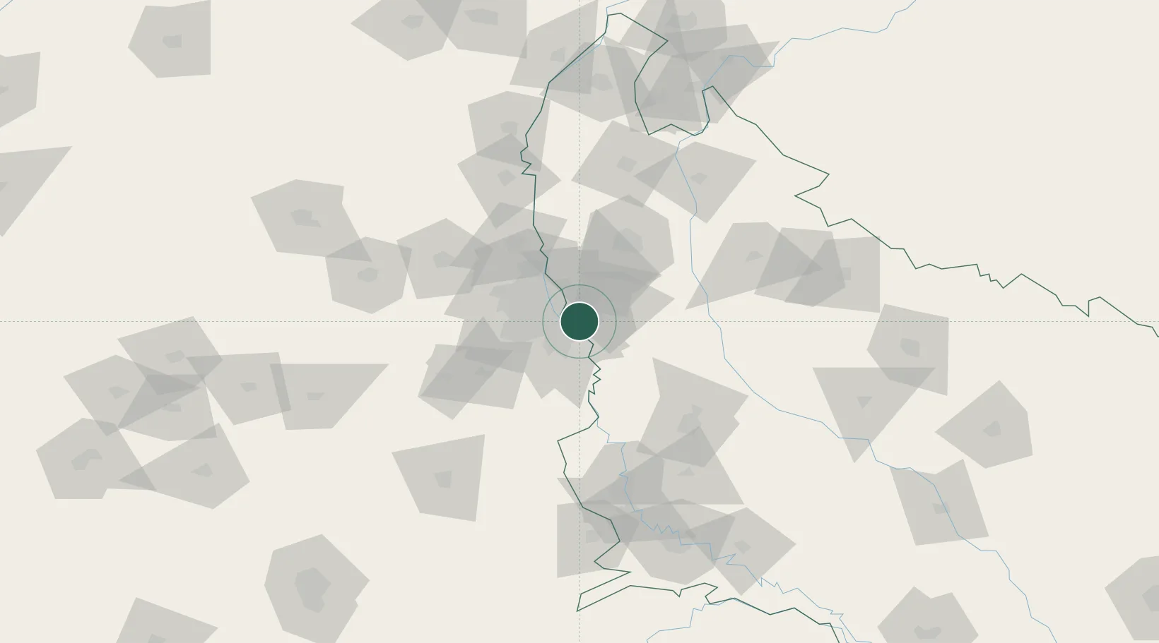
Nearby Logistics Neighbours

Cities
  1. 1Surajpur7 km
  2. 2Dadri8 km
  3. 3Dadri ICD/Noida11 km
  4. 4Dadri Container Terminal12 km
  5. 5Piyala Block Hut14 km
Nearest neighbours — logibook spatial index (haversine) over the source coordinates
Ports
  1. 1Dahej904 km
  2. 2Bhavnagar915 km
  3. 3Navlakhi933 km
  4. 4Kandla945 km
  5. 5Magdalla946 km
Nearest neighbours — logibook spatial index (haversine) over the source coordinates
Airports
  1. 1Hindon Airport / Hindon Air Force Station20 km
  2. 2Safdarjung Airport21 km
  3. 3Indira Gandhi International Airport31 km
  4. 4Noida International Airport44 km
  5. 5Aligarh Airport103 km
Nearest neighbours — logibook spatial index (haversine) over the source coordinates
Trade Zones
  1. 1Noida Special Economic Zone2 km
  2. 2TCS Noida4 km
  3. 3Unitech Realty Projects Ltd.6 km
  4. 4Vedanta Aluminium Limited7 km
  5. 5Moser Baer SEZ, Greater Noida7 km
Nearest neighbours — logibook spatial index (haversine) over the source coordinates
DatabookThe Record of Consolidated Knowledge
India beyond logistics?
Browse databook

All Sources

LocationsUN/LOCODE
UN/LOCODE — free
LocationsGeoNames
CC BY 4.0
Portsthe NGA World Port Index
Public domain (US gov)
AirportsOurAirports
Public domain
Trade Zonesthe World Bank SEZ database
CC BY 4.0
Trade ZonesOpen Zone Map
CC BY
← India locations