Export Processing Zone · South Africa

Babelegi Industrial Park Active
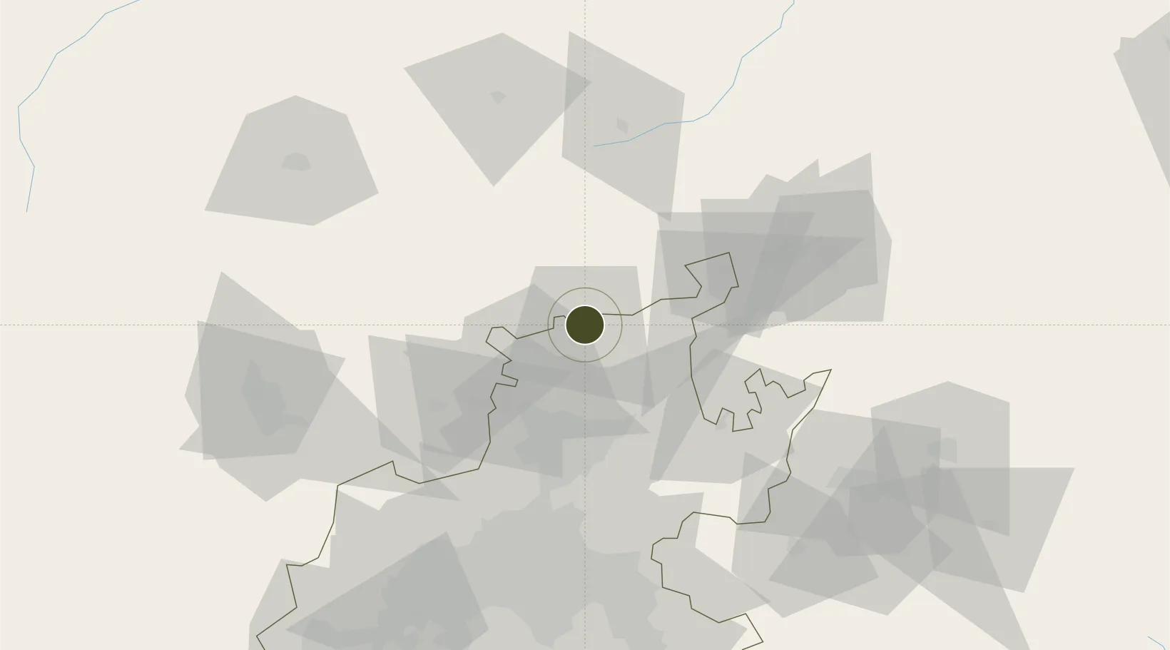
-25.3542°, 28.2758°
21 ha
Zone area
433.2 km
Nearest port
33.7 km
Nearest airport

Gateway access

Nearest neighbours — logibook spatial index (haversine) over the source coordinates

Zone profile

Zone type
Export Processing Zone
Open Zone Map
Region
Gauteng
Open Zone Map
Status
Active
Open Zone Map
Management
Public
Open Zone Map
Operator
North West Development Corporation
Open Zone Map
Legal framework
Special Economic Zones Act No.16 of 2014
Open Zone Map

Location

Location of ozm-4149
Natural Earth 10m (public domain) · Gauteng · ozm-4149 · -25.35, 28.28GoogleOSMYandex

Nearby Logistics Neighbours

Ports
  1. 1Maputo433 km
  2. 2Richards Bay539 km
  3. 3Durban572 km
  4. 4Inhambane738 km
  5. 5East London855 km
Nearest neighbours — logibook spatial index (haversine) over the source coordinates
Airports
  1. 1Wonderboom Airport34 km
  2. 2Swartkop Air Force Base52 km
  3. 3Waterkloof Air Force Base53 km
  4. 4Grand Central Airport72 km
  5. 5Lanseria International Airport74 km
Nearest neighbours — logibook spatial index (haversine) over the source coordinates
Cities
  1. 1Onderstepoort34 km
  2. 2Garankuwa38 km
  3. 3Gezina39 km
  4. 4Hermanstad40 km
  5. 5Pretoria40 km
Nearest neighbours — logibook spatial index (haversine) over the source coordinates
Trade Zones
  1. 1Tshwane Automotive Industrial Zone42 km
  2. 2OR Tambo Industrial Development Zone87 km
  3. 3Bojanala (Platinum Valley) Special Economic Zone101 km
  4. 4Vaal Special Economic Zone158 km
  5. 5Tubatse Special Economic Zone196 km
Nearest neighbours — logibook spatial index (haversine) over the source coordinates
DatabookThe Record of Consolidated Knowledge
South Africa beyond logistics?
Browse databook

All Sources

Trade ZonesOpen Zone Map
CC BY
Portsthe NGA World Port Index
Public domain (US gov)
AirportsOurAirports
Public domain
LocationsUN/LOCODE
UN/LOCODE — free
← South Africa trade zones