Transport Functions
Rail
Road
Multimodal
Hub Profile
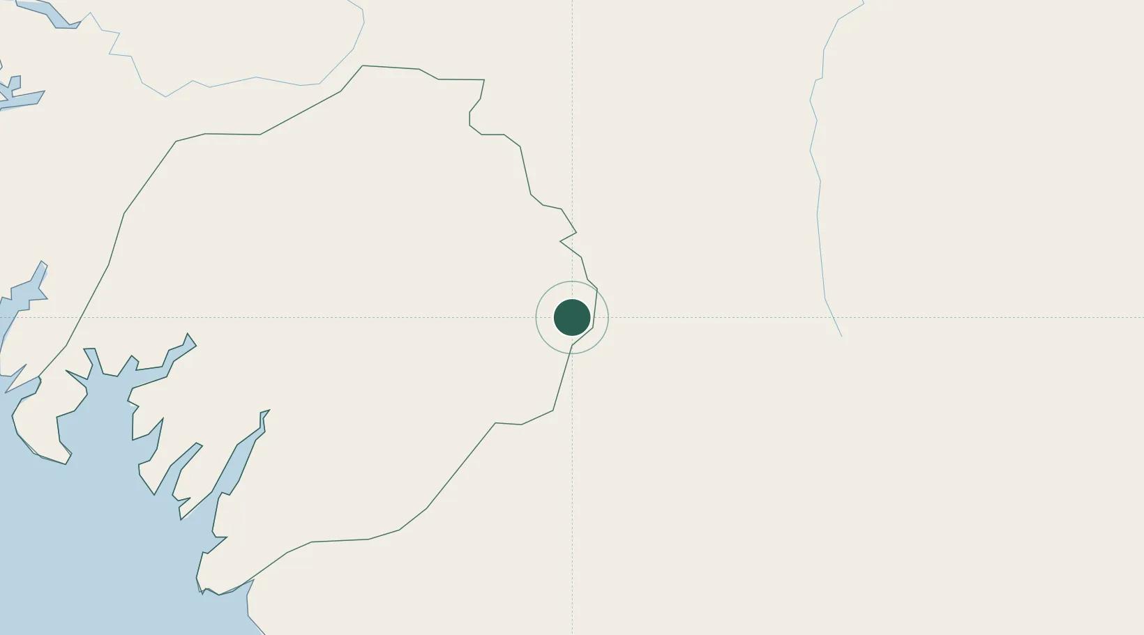
Place type
Populated place
Region
Boké Region
Population
54,824
Time zone
Africa/Conakry
Elevation
200 m
Location
Nearby Logistics Neighbours
Cities
- 1Dapilon80 km
- 2Dougoula89 km
- 3Kamsar97 km
- 4Port-Kamsar101 km
- 5Boffa105 km
Airports
- 1Ahmed Sékou Touré International Airport171 km
- 2Osvaldo Vieira International Airport219 km
- 3Kédougou Airport239 km
- 4Lungi International Airport284 km
- 5Tambacounda Airport294 km
Trade Zones
DatabookThe Record of Consolidated Knowledge
Guinea beyond logistics?