Transport Functions
Port
Multimodal
Hub Profile
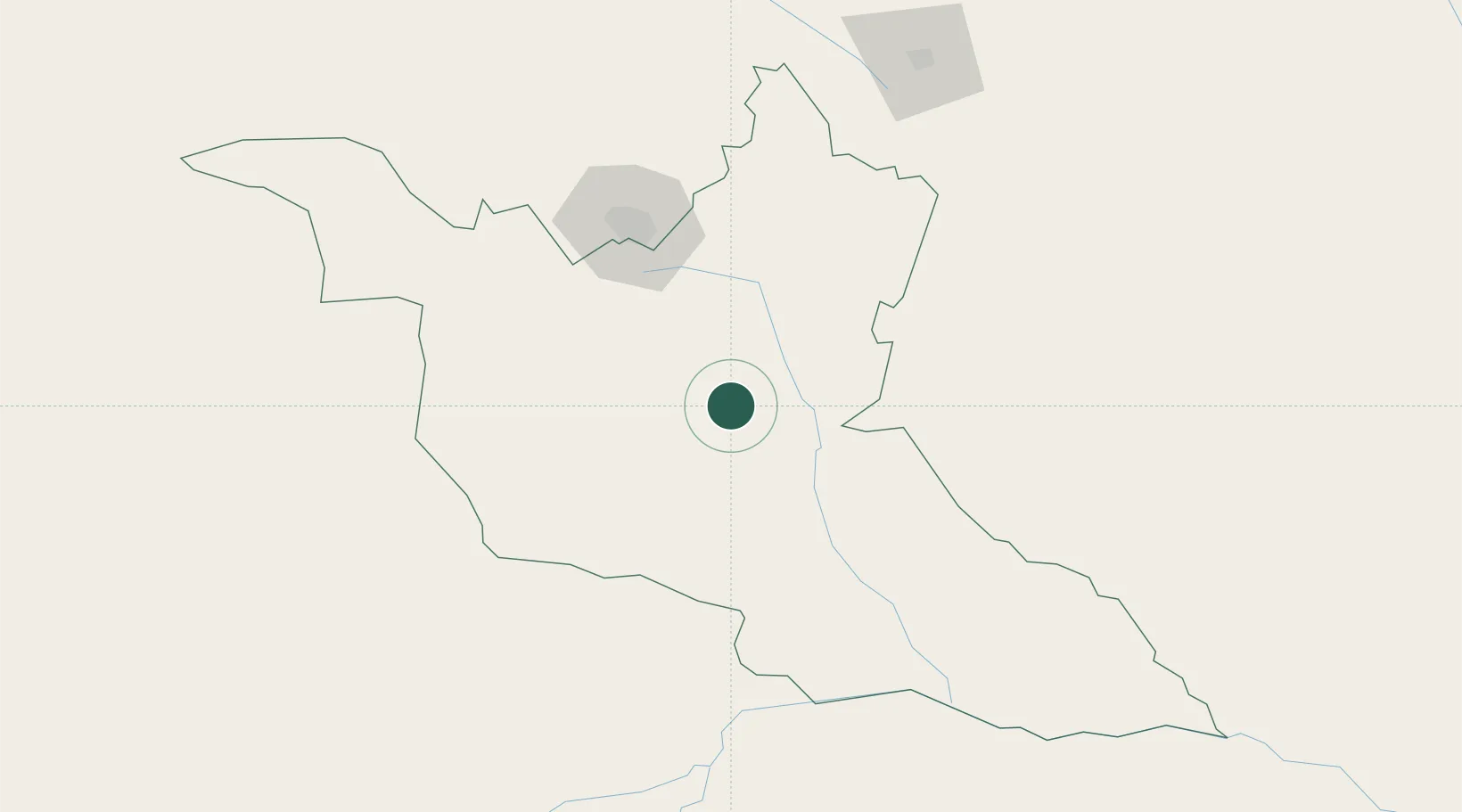
Place type
Regional capital
Region
Matabeleland South Province
Population
26,700
Time zone
Africa/Harare
Elevation
986 m
Location
Nearby Logistics Neighbours
Cities
- 1Filabusi53 km
- 2Francistown156 km
- 3Messina191 km
- 4Zimbabwe213 km
- 5Blouberg243 km
Airports
DatabookThe Record of Consolidated Knowledge
Zimbabwe beyond logistics?