Economic Revitalization Project · Botswana

Greater Palapye Special Economic Zone Under Development
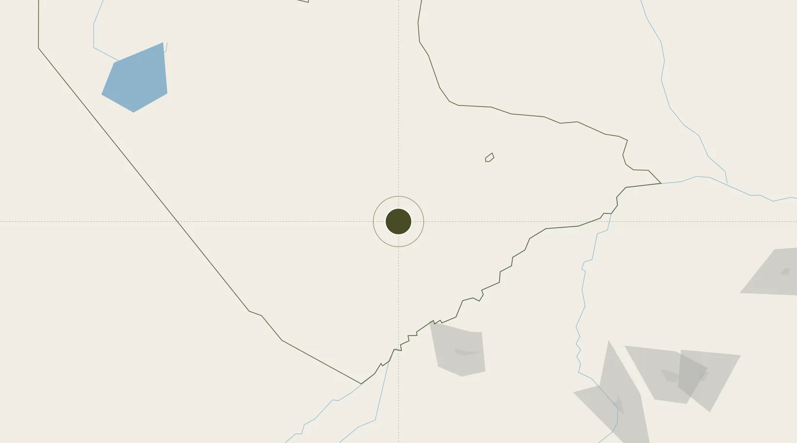
-22.5225°, 27.0439°
440 ha
Zone area
676.2 km
Nearest port
95.8 km
Nearest airport

Gateway access

Nearest neighbours — logibook spatial index (haversine) over the source coordinates

Zone profile

Zone type
Economic Revitalization Project
Open Zone Map
Region
Central
Open Zone Map
Status
Under Development
Open Zone Map
Management
Public
Open Zone Map
Operator
Palapye Administrative Authority
Open Zone Map
Legal framework
Special Economic Zones Act (Act 13, 2015)
Open Zone Map

Location

Location of ozm-201
Natural Earth 10m (public domain) · Central · ozm-201 · -22.52, 27.04GoogleOSMYandex

Nearby Logistics Neighbours

Ports
  1. 1Maputo676 km
  2. 2Beira861 km
  3. 3Richards Bay863 km
  4. 4Inhambane868 km
  5. 5Durban910 km
Nearest neighbours — logibook spatial index (haversine) over the source coordinates
Airports
  1. 1Selebi Phikwe Airport96 km
  2. 2Phillip Gaonwe Matante International Airport158 km
  3. 3Sua Pan Airport239 km
  4. 4Sir Seretse Khama International Airport254 km
  5. 5Polokwane International Airport287 km
Nearest neighbours — logibook spatial index (haversine) over the source coordinates
Cities
  1. 1Palapye10 km
  2. 2Mahalapye68 km
  3. 3Francistown159 km
  4. 4Blouberg210 km
  5. 5Dukwi222 km
Nearest neighbours — logibook spatial index (haversine) over the source coordinates
Trade Zones
  1. 1Selebi Phikwe Special Economic Zone101 km
  2. 2Francistown Special Economic Zone164 km
  3. 3Tuli Block Tourism Zone220 km
  4. 4Sir Seretse Khama Intl Airport Zone257 km
  5. 5Gaborone Fairgrounds Special Economic Zone265 km
Nearest neighbours — logibook spatial index (haversine) over the source coordinates
DatabookThe Record of Consolidated Knowledge
Botswana beyond logistics?
Browse databook

All Sources

Trade ZonesOpen Zone Map
CC BY
Portsthe NGA World Port Index
Public domain (US gov)
AirportsOurAirports
Public domain
LocationsUN/LOCODE
UN/LOCODE — free
← Botswana trade zones