Large airport · Zimbabwe

Joshua Mqabuko Nkomo International AirportFVBU
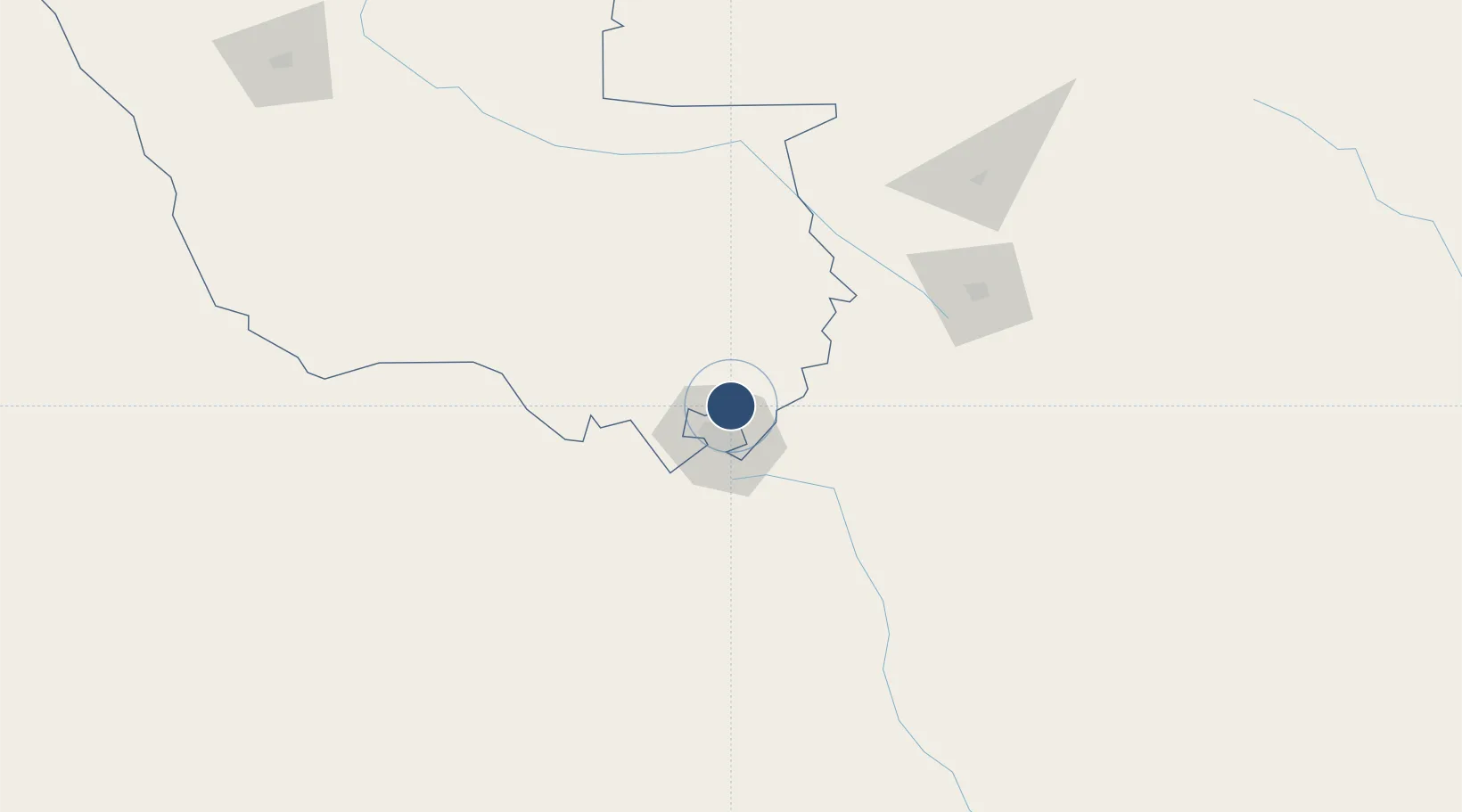
-20.0163°, 28.6229°
8,491 ft
Longest runway
2
Runways
4,359 ft
Elevation

Runway & Layout

Joshua Mqabuko Nkomo International Airport runway & taxiway layout
Runway & taxiway layout — OpenStreetMap (ODbL) / OurAirports

Radio Frequencies

TWR
118.3 MHz
NKOMO TWR
APP
119.7 MHz
NKOMO APP
OurAirports

Runways · 2

RunwayDimensions SurfaceTrue headingLit
13/31 8,491 × 148ft Asphalt 115°
02/20 4,419 × 98ft Asphalt 008°
OurAirports

Airport Specifications

IATA code
BUQ
OurAirports
ICAO code
FVJN
OurAirports
Airport class
Large airport
OurAirports
Scheduled service
Yes
OurAirports
Runway surface
Asphalt
OurAirports
Served city
Bulawayo
OurAirports

Location

Location of FVBU
Natural Earth 10m (public domain) · Matabeleland North · FVBU · -20.02, 28.62GoogleOSMYandex

Nearby Logistics Neighbours

Airports
  1. 1Josiah Tungamirai Air Force Base145 km
  2. 2Phillip Gaonwe Matante International Airport175 km
  3. 3Hwange National Park Airport228 km
  4. 4Masvingo International Airport234 km
  5. 5Selebi Phikwe Airport242 km
Nearest neighbours — logibook spatial index (haversine) over the source coordinates
Cities
  1. 1Filabusi90 km
  2. 2Gwanda109 km
  3. 3Francistown172 km
  4. 4Gokwe203 km
  5. 5Dukwi227 km
Nearest neighbours — logibook spatial index (haversine) over the source coordinates
Ports
  1. 1Beira650 km
  2. 2Maputo773 km
  3. 3Inhambane822 km
  4. 4Chinde842 km
  5. 5Quelimane900 km
Nearest neighbours — logibook spatial index (haversine) over the source coordinates
DatabookThe Record of Consolidated Knowledge
Zimbabwe beyond logistics?
Browse databook

All Sources

AirportsOurAirports
Public domain
Portsthe NGA World Port Index
Public domain (US gov)
LocationsUN/LOCODE
UN/LOCODE — free
Trade Zonesthe World Bank SEZ database
CC BY 4.0
Trade ZonesOpen Zone Map
CC BY
InfrastructureOpenStreetMap
ODbL 1.0
← Zimbabwe airports