Medium airport · Botswana
Sua Pan AirportFBSN
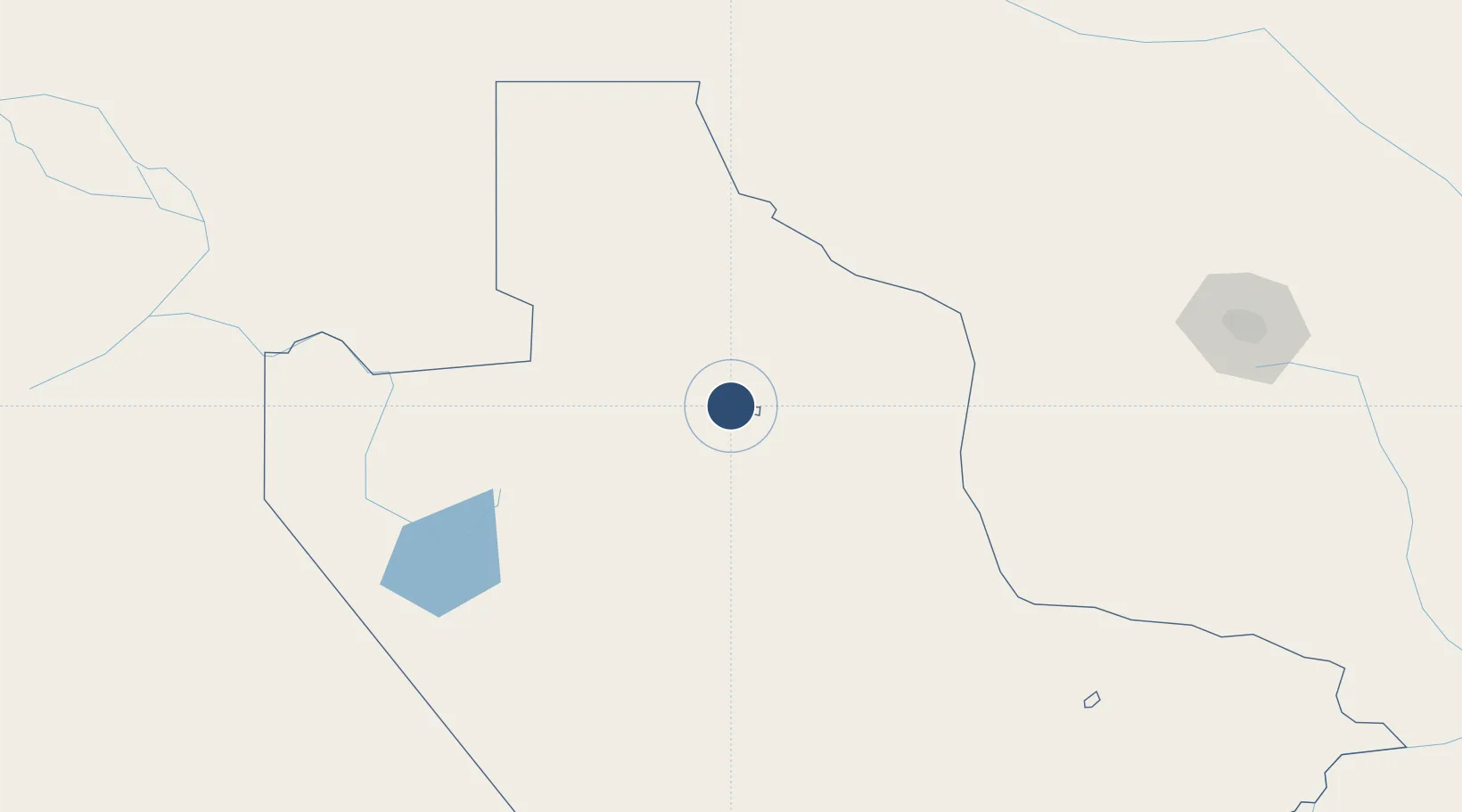
-20.5534°, 26.1158°
5,381 ft
Longest runway
1
Runways
2,985 ft
Elevation
Runway & Layout

Runways · 1
| Runway | Dimensions | Surface | True heading | Lit |
|---|---|---|---|---|
| 11/29 | 5,381 × 66ft | Asphalt | 103° | — |
Airport Specifications
IATA code
SXN
ICAO code
FBSN
Airport class
Medium airport
Scheduled service
No
Runway surface
Asphalt
Served city
Sowa
Location
Nearby Logistics Neighbours
Airports
Cities
- 1Dukwi44 km
- 2Francistown161 km
- 3Palapye247 km
- 4Thompson Junction286 km
- 5Mahalapye293 km
Ports
- 1Maputo890 km
- 2Beira913 km
- 3Inhambane1026 km
- 4Richards Bay1099 km
- 5Chinde1110 km
DatabookThe Record of Consolidated Knowledge
Botswana beyond logistics?