Transport Functions
Port
Rail
Road
Hub Profile
Place type
Populated place
Region
Central
Population
48,431
Time zone
Africa/Gaborone
Elevation
1,025 m
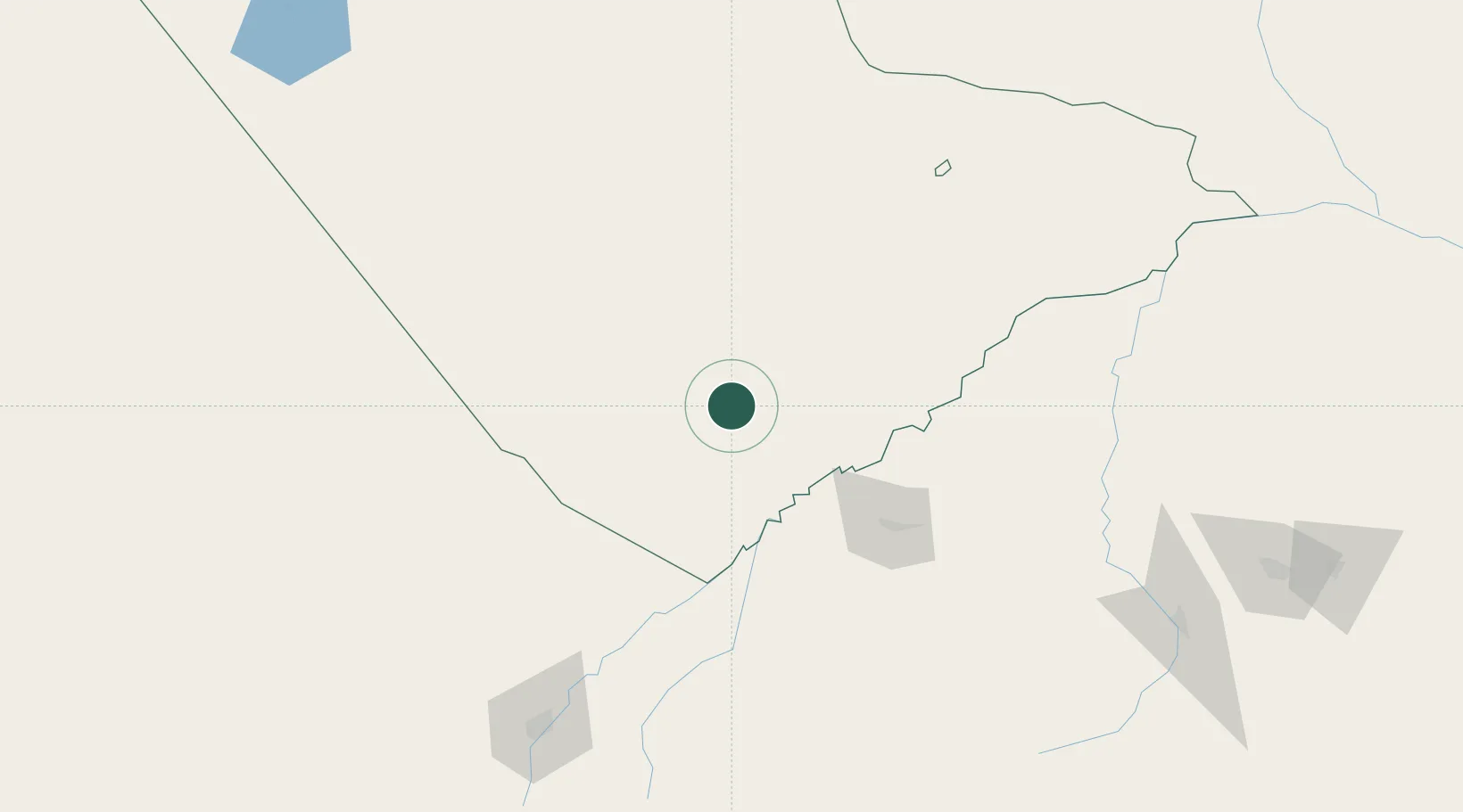
Location
Nearby Logistics Neighbours
Cities
- 1Palapye67 km
- 2Gaberones Camp198 km
- 3Gaborone198 km
- 4Blouberg220 km
- 5Ramotswa222 km
Ports
- 1Maputo660 km
- 2Richards Bay825 km
- 3Durban862 km
- 4Inhambane878 km
- 5Beira904 km
Airports
DatabookThe Record of Consolidated Knowledge
Botswana beyond logistics?