Large airport · Botswana
Phillip Gaonwe Matante International AirportFBFT
-21.1592°, 27.4688°
9,843 ft
Longest runway
2
Runways
3,283 ft
Elevation
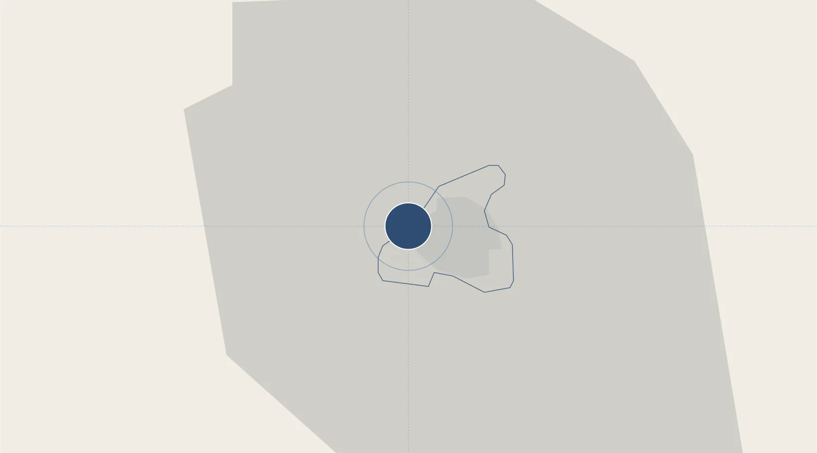
Runway & Layout

Radio Frequencies
TWR
118.1 MHz
APP
125.7 MHz
Runways · 2
| Runway | Dimensions | Surface | True heading | Lit |
|---|---|---|---|---|
| 13/31 | 9,843 × 148ft | Asphalt | 121° | ✓ |
| 11/29 | 7,218 × 98ft | Asphalt | 097° | ✓ |
Airport Specifications
IATA code
FRW
ICAO code
FBPM
Airport class
Large airport
Scheduled service
Yes
Runway surface
Asphalt
Served city
Francistown
Location
Nearby Logistics Neighbours
Airports
- 1Selebi Phikwe Airport107 km
- 2Sua Pan Airport156 km
- 3Joshua Mqabuko Nkomo International Airport175 km
- 4Hwange National Park Airport285 km
- 5Josiah Tungamirai Air Force Base315 km
Cities
- 1Francistown5 km
- 2Dukwi116 km
- 3Palapye160 km
- 4Gwanda161 km
- 5Filabusi201 km
Ports
- 1Maputo743 km
- 2Beira781 km
- 3Inhambane870 km
- 4Richards Bay970 km
- 5Chinde987 km
DatabookThe Record of Consolidated Knowledge
Botswana beyond logistics?