Diversified Zone · Zimbabwe

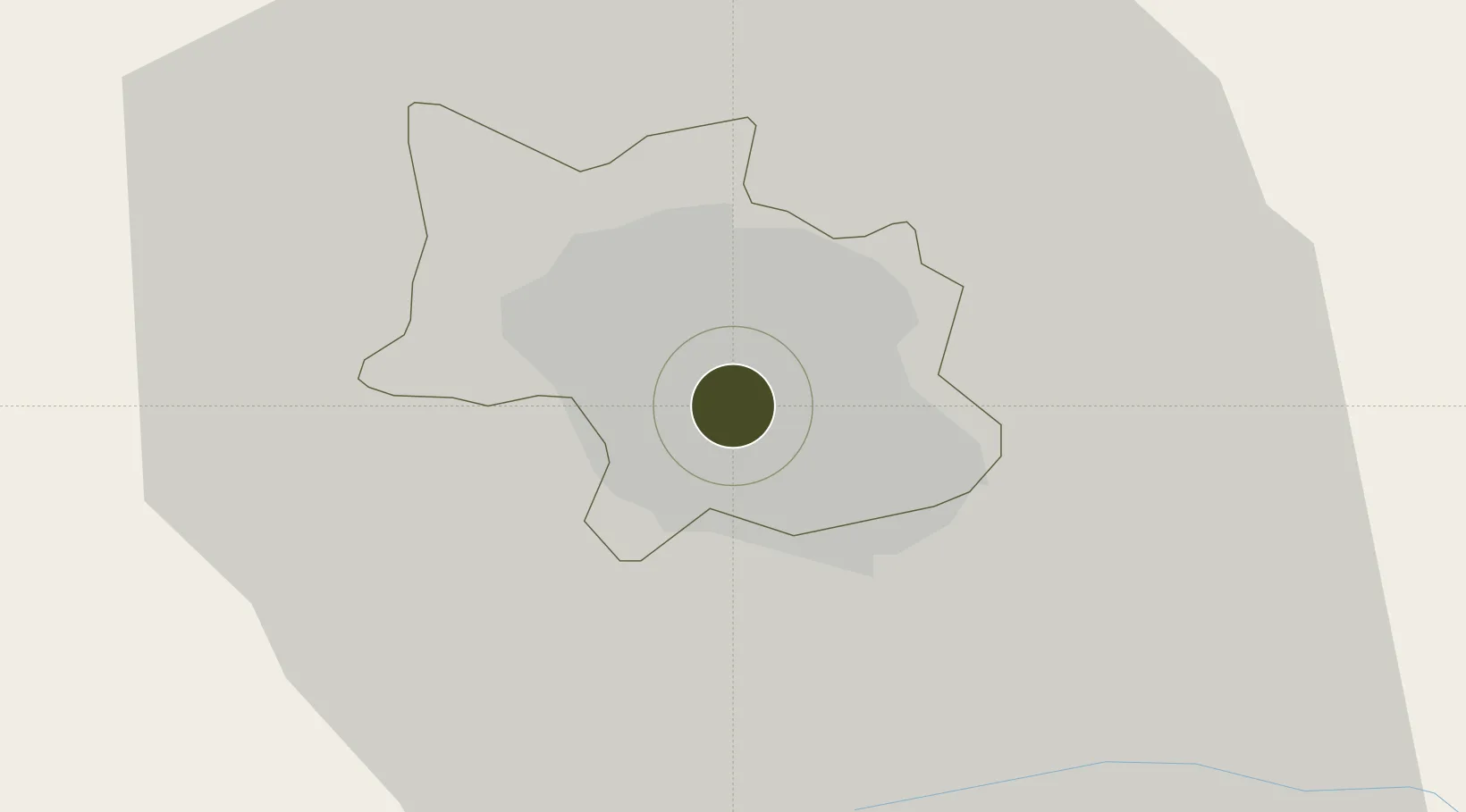
Bulawayo Corridor (Donnington-Belmont-Kelvin-Imvumela) Special Economic Zone Active

-20.1750°, 28.5710°
105 ha
Zone area
655.4 km
Nearest port
18.5 km
Nearest airport

Gateway access

Nearest neighbours — logibook spatial index (haversine) over the source coordinates

Zone profile

Zone type
Diversified Zone
Open Zone Map
Region
Bulawayo
Open Zone Map
Status
Active
Open Zone Map
Management
Public
Open Zone Map
Operator
Shepco BMA Fasteners company
Open Zone Map
Legal framework
Zimbabwe Investment and Development Agency Act
Open Zone Map

Location

Location of ozm-5214
Natural Earth 10m (public domain) · Bulawayo · ozm-5214 · -20.17, 28.57GoogleOSMYandex

Nearby Logistics Neighbours

Ports
  1. 1Beira655 km
  2. 2Maputo761 km
  3. 3Inhambane817 km
  4. 4Chinde851 km
  5. 5Quelimane910 km
Nearest neighbours — logibook spatial index (haversine) over the source coordinates
Airports
  1. 1Joshua Mqabuko Nkomo International Airport19 km
  2. 2Josiah Tungamirai Air Force Base158 km
  3. 3Phillip Gaonwe Matante International Airport159 km
  4. 4Selebi Phikwe Airport223 km
  5. 5Hwange National Park Airport237 km
Nearest neighbours — logibook spatial index (haversine) over the source coordinates
Cities
  1. 1Filabusi84 km
  2. 2Gwanda95 km
  3. 3Francistown156 km
  4. 4Dukwi217 km
  5. 5Gokwe221 km
Nearest neighbours — logibook spatial index (haversine) over the source coordinates
Trade Zones
  1. 1Francistown Special Economic Zone150 km
  2. 2Zimbabwe Iron and Steel Co (ZISCO) Special Economic Zone179 km
  3. 3Tuli Block Tourism Zone210 km
  4. 4Selebi Phikwe Special Economic Zone214 km
  5. 5Beitbridge Special Economic Zone271 km
Nearest neighbours — logibook spatial index (haversine) over the source coordinates
DatabookThe Record of Consolidated Knowledge
Zimbabwe beyond logistics?
Browse databook

All Sources

Trade ZonesOpen Zone Map
CC BY
Portsthe NGA World Port Index
Public domain (US gov)
AirportsOurAirports
Public domain
LocationsUN/LOCODE
UN/LOCODE — free
← Zimbabwe trade zones