Export Processing Zone · Bosnia & Herzegovina

Free Zone Visoko Active
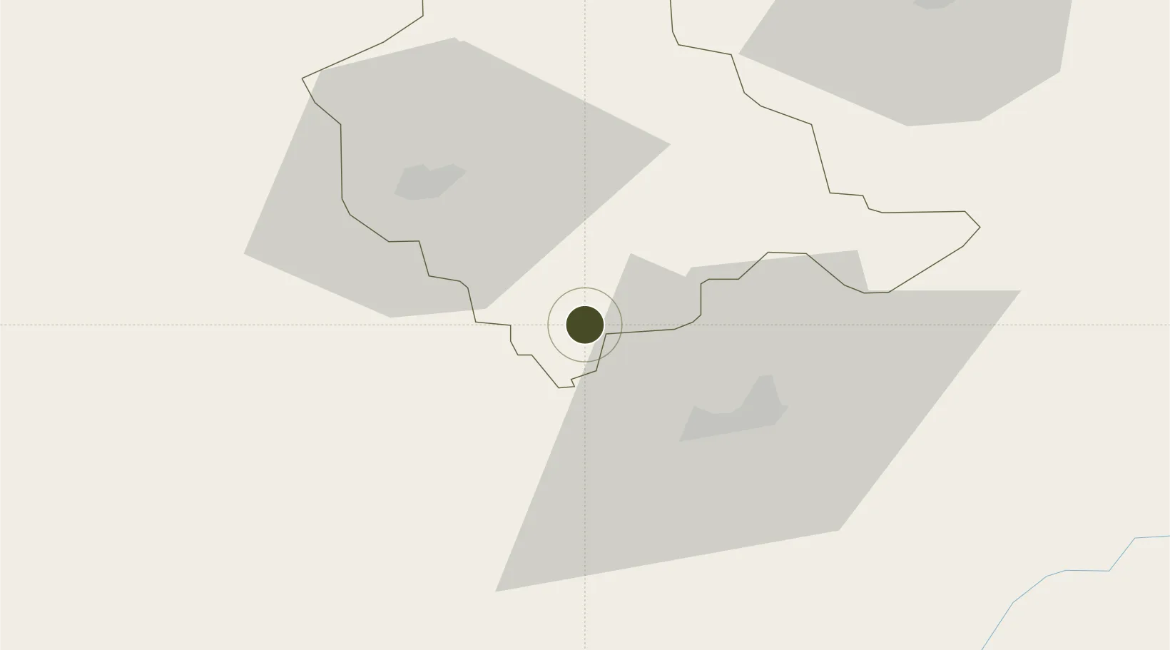
44.0008°, 18.1630°
20 ha
Zone area
121.0 km
Nearest port
23.8 km
Nearest airport

Gateway access

Nearest neighbours — logibook spatial index (haversine) over the source coordinates

Zone profile

Zone type
Export Processing Zone
Open Zone Map
Region
Zenica-Doboj
Open Zone Map
Status
Active
Open Zone Map
Management
Private
Open Zone Map
Operator
Slobodna Zona Visoko D.O.O. Visoko
Open Zone Map
Legal framework
Law on Free Zones; Official Gazette of the Federation of BiH 2/95, 37/04, 43/04
Open Zone Map

Location

Location of ozm-199
Natural Earth 10m (public domain) · Zenica-Doboj · ozm-199 · 44.00, 18.16GoogleOSMYandex

Nearby Logistics Neighbours

Ports
  1. 1Ploce121 km
  2. 2Neum129 km
  3. 3Dugi Rat136 km
  4. 4Korcula145 km
  5. 5Dubrovnik149 km
Nearest neighbours — logibook spatial index (haversine) over the source coordinates
Airports
  1. 1Sarajevo International Airport24 km
  2. 2Tuzla International Airport68 km
  3. 3Mostar International Airport84 km
  4. 4Ponikve Airport123 km
  5. 5Banja Luka International Airport125 km
Nearest neighbours — logibook spatial index (haversine) over the source coordinates
Cities
  1. 1Rajlovac19 km
  2. 2Vogosca19 km
  3. 3Fojnica22 km
  4. 4Konjic46 km
  5. 5Travnik46 km
Nearest neighbours — logibook spatial index (haversine) over the source coordinates
Trade Zones
  1. 1Free Zone Vogošća20 km
  2. 2Free Zone Holc, Lukavac66 km
  3. 3Free Zone Hercegovina82 km
  4. 4ō abac Free Zone111 km
  5. 5Priboj Free Zone115 km
Nearest neighbours — logibook spatial index (haversine) over the source coordinates
DatabookThe Record of Consolidated Knowledge
Bosnia & Herzegovina beyond logistics?
Browse databook

All Sources

Trade ZonesOpen Zone Map
CC BY
Portsthe NGA World Port Index
Public domain (US gov)
AirportsOurAirports
Public domain
LocationsUN/LOCODE
UN/LOCODE — free
← Bosnia & Herzegovina trade zones