Export Processing Zone · Bosnia & Herzegovina

Free Zone Hercegovina Inactive
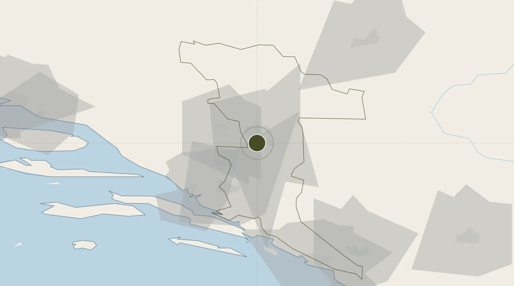
43.3092°, 17.8032°
43 ha
Zone area
41.6 km
Nearest port
4.6 km
Nearest airport

Gateway access

Nearest neighbours — logibook spatial index (haversine) over the source coordinates

Zone profile

Zone type
Export Processing Zone
Open Zone Map
Region
Herzegovina-Neretva
Open Zone Map
Status
Inactive
Open Zone Map
Management
Private
Open Zone Map
Operator
Slobodna Zona Hercegovina D.O.O. Mostar
Open Zone Map
Legal framework
Law on Free Zones; Official Gazette of the Federation of BiH 2/95, 37/04, 43/04
Open Zone Map

Location

Location of ozm-200
Natural Earth 10m (public domain) · Herzegovina-Neretva · ozm-200 · 43.31, 17.80GoogleOSMYandex

Nearby Logistics Neighbours

Ports
  1. 1Ploce42 km
  2. 2Neum47 km
  3. 3Korcula69 km
  4. 4Dubrovnik75 km
  5. 5Dugi Rat95 km
Nearest neighbours — logibook spatial index (haversine) over the source coordinates
Airports
  1. 1Mostar International Airport5 km
  2. 2Sarajevo International Airport71 km
  3. 3Brač Airport91 km
  4. 4Dubrovnik Ruđer Bošković Airport91 km
  5. 5Split Saint Jerome Airport124 km
Nearest neighbours — logibook spatial index (haversine) over the source coordinates
Cities
  1. 1Citluk24 km
  2. 2Metkovic32 km
  3. 3Konjic37 km
  4. 4Jablanica38 km
  5. 5Rogotin41 km
Nearest neighbours — logibook spatial index (haversine) over the source coordinates
Trade Zones
  1. 1Port of Ploče Free Zone42 km
  2. 2Free Zone Vogošća80 km
  3. 3Free Zone Visoko82 km
  4. 4Split-Dalmatia Free Zone111 km
  5. 5Port of Split Free Zone114 km
Nearest neighbours — logibook spatial index (haversine) over the source coordinates
DatabookThe Record of Consolidated Knowledge
Bosnia & Herzegovina beyond logistics?
Browse databook

All Sources

Trade ZonesOpen Zone Map
CC BY
Portsthe NGA World Port Index
Public domain (US gov)
AirportsOurAirports
Public domain
LocationsUN/LOCODE
UN/LOCODE — free
← Bosnia & Herzegovina trade zones