Large airport · Bosnia & Herzegovina

Sarajevo International AirportLQSA
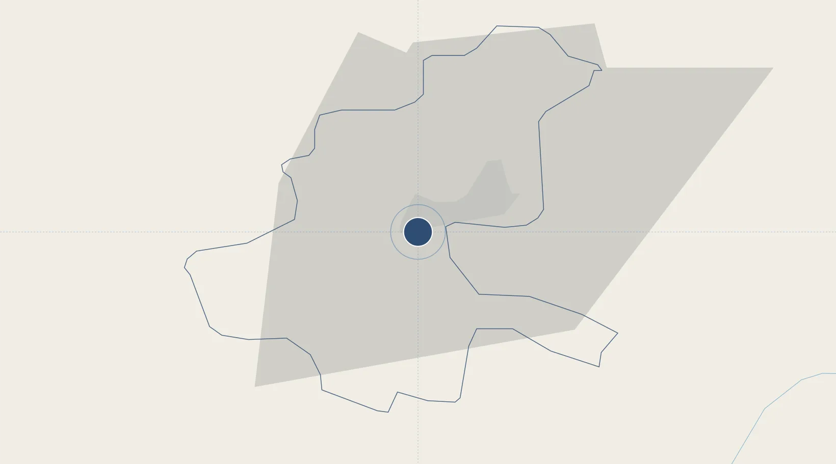
43.8246°, 18.3315°
8,666 ft
Longest runway
1
Runways
1,708 ft
Elevation

Runway & Layout

Sarajevo International Airport runway & taxiway layout
Runway & taxiway layout — OpenStreetMap (ODbL) / OurAirports

Radio Frequencies

TWR
118.25 MHz
GND
121.9 MHz
APP
136.45 MHz
GCA
119.4 MHz
OurAirports

Navaids

FRA NDB Sarajevo 436 kHz
KEB VOR-DME Sarajevo 116.70 MHz
KG NDB Kobiljaca 358 kHz
SAR VORTAC Sarajevo 108.85 MHz
OurAirports

Runways · 1

RunwayDimensions SurfaceTrue headingLit
11/29 8,666 × 150ft Asphalt 117°
OurAirports

Airport Specifications

IATA code
SJJ
OurAirports
ICAO code
LQSA
OurAirports
Airport class
Large airport
OurAirports
Scheduled service
Yes
OurAirports
Runway surface
Asphalt
OurAirports
Served city
Sarajevo
OurAirports

Location

Location of LQSA
Natural Earth 10m (public domain) · Sarajevo · LQSA · 43.82, 18.33GoogleOSMYandex

Nearby Logistics Neighbours

Airports
  1. 1Mostar International Airport72 km
  2. 2Tuzla International Airport77 km
  3. 3Ponikve Airport110 km
  4. 4Dubrovnik Ruđer Bošković Airport141 km
  5. 5Brač Airport146 km
Nearest neighbours — logibook spatial index (haversine) over the source coordinates
Cities
  1. 1Rajlovac5 km
  2. 2Vogosca9 km
  3. 3Fojnica37 km
  4. 4Konjic37 km
  5. 5Jablanica51 km
Nearest neighbours — logibook spatial index (haversine) over the source coordinates
Ports
  1. 1Ploce113 km
  2. 2Neum117 km
  3. 3Dubrovnik130 km
  4. 4Korcula139 km
  5. 5Dugi Rat142 km
Nearest neighbours — logibook spatial index (haversine) over the source coordinates
Trade Zones
  1. 1Free Zone Vogošća9 km
  2. 2Free Zone Visoko24 km
  3. 3Free Zone Hercegovina71 km
  4. 4Free Zone Holc, Lukavac81 km
  5. 5Priboj Free Zone96 km
Nearest neighbours — logibook spatial index (haversine) over the source coordinates
DatabookThe Record of Consolidated Knowledge
Bosnia & Herzegovina beyond logistics?
Browse databook

All Sources

AirportsOurAirports
Public domain
Portsthe NGA World Port Index
Public domain (US gov)
LocationsUN/LOCODE
UN/LOCODE — free
Trade Zonesthe World Bank SEZ database
CC BY 4.0
Trade ZonesOpen Zone Map
CC BY
InfrastructureOpenStreetMap
ODbL 1.0
← Bosnia & Herzegovina airports