Seaport · Croatia

Dugi RatHRDUR

43.4500°, 16.6500°
23.2 m
Channel depth
Dugi Rat is also a UN/LOCODE logistics hub →

Channel & Berth Profile

SEA LEVEL (CD)CHANNEL BEDAnchorage · 7.9 mChannel · 23.2 m
NGA World Port Index

Pilotage, Tugs & Services

Pilotage compulsoryYES
Tug assistanceNO
Salvage tugsNO
Potable waterYES
MedicalYES
NGA World Port Index

Facilities & Capabilities

Container
Ro-Ro
Liquid bulk
Dry bulk
Oil terminal
Break bulk
Dry dock
Repairs
Bunkering
Rail link
Dangerous cargo
ISPS security
NGA World Port Index

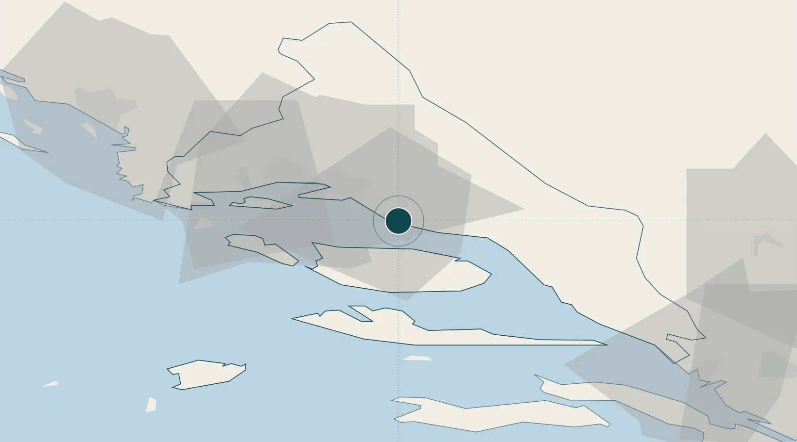
Harbour Specifications

Harbour size
Very Small
NGA World Port Index
Harbour type
Coastal (Natural)
NGA World Port Index
Shelter
Fair
NGA World Port Index
Water body
Adriatic Sea; Mediterranean Sea; North Atlantic Ocean
NGA World Port Index
Pilotage
Yes
NGA World Port Index

Location

Location of HRDUR
Natural Earth 10m (public domain) · Splitsko-Dalmatinska · HRDUR · 43.45, 16.65GoogleOSMYandex

Nearby Logistics Neighbours

Ports
  1. 1Split18 km
  2. 2Sibenik69 km
  3. 3Korcula70 km
  4. 4Ploce78 km
  5. 5Neum97 km
Nearest neighbours — logibook spatial index (haversine) over the source coordinates
Cities
  1. 1Omis4 km
  2. 2Splitska10 km
  3. 3Supetar11 km
  4. 4Stobrec12 km
  5. 5Pucisca12 km
Nearest neighbours — logibook spatial index (haversine) over the source coordinates
Airports
  1. 1Brač Airport19 km
  2. 2Split Saint Jerome Airport30 km
  3. 3Mostar International Airport99 km
  4. 4Zadar Airport127 km
  5. 5Sarajevo International Airport142 km
Nearest neighbours — logibook spatial index (haversine) over the source coordinates
Trade Zones
  1. 1Split-Dalmatia Free Zone17 km
  2. 2Port of Split Free Zone20 km
  3. 3Port of Ploče Free Zone78 km
  4. 4Free Zone Hercegovina95 km
  5. 5Free Zone Visoko136 km
Nearest neighbours — logibook spatial index (haversine) over the source coordinates
DatabookThe Record of Consolidated Knowledge
Croatia beyond logistics?
Browse databook

All Sources

Portsthe NGA World Port Index
Public domain (US gov)
AirportsOurAirports
Public domain
LocationsUN/LOCODE
UN/LOCODE — free
Trade Zonesthe World Bank SEZ database
CC BY 4.0
Trade ZonesOpen Zone Map
CC BY
← Croatia ports