UN/LOCODE hub · Bosnia & Herzegovina
BAFOJ
Fojnica
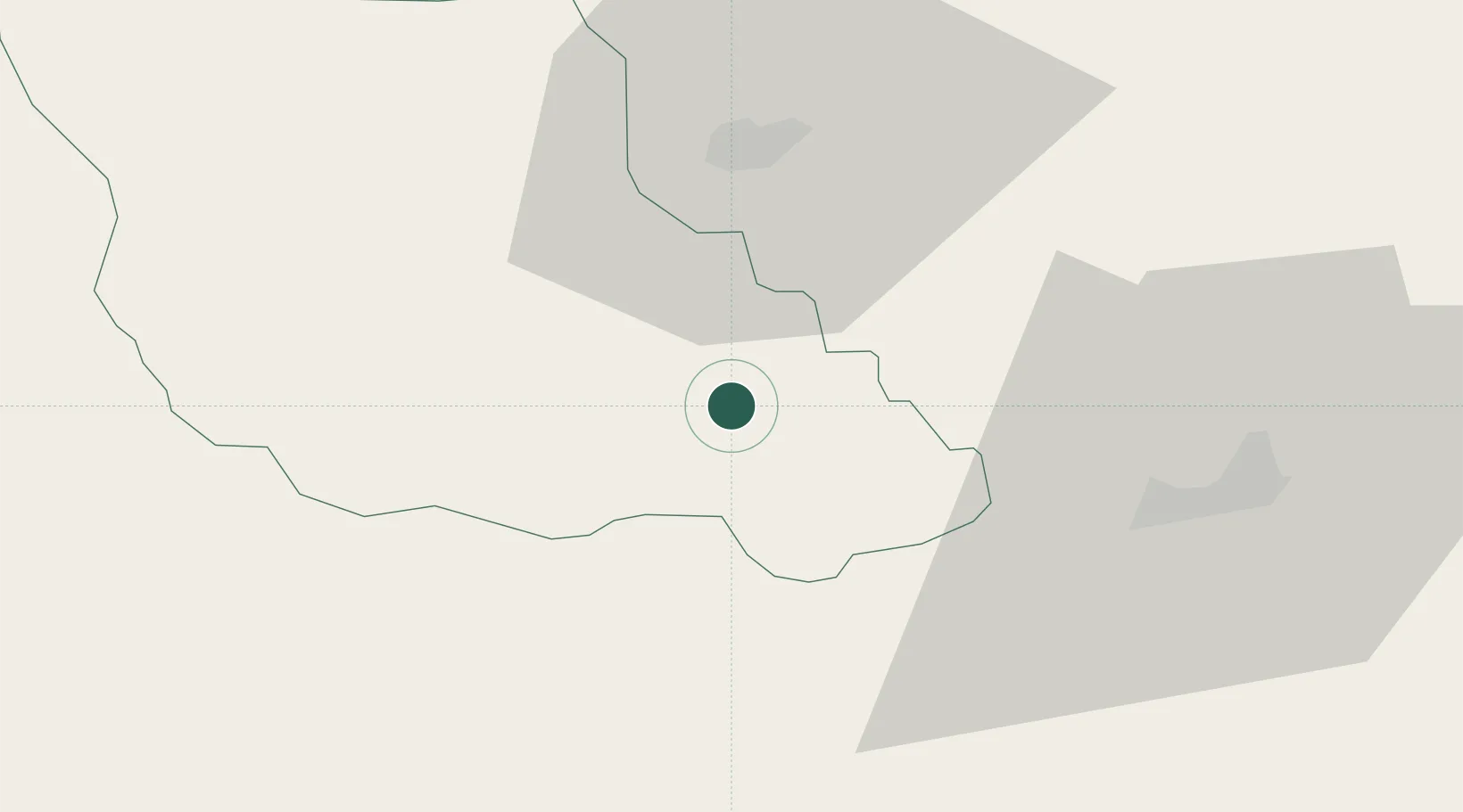
43.9500°, 17.9000°
8,244
Population
2
Transport functions
Transport Functions
Port
Multimodal
Hub Profile
Place type
District seat
Region
Federation of B&H
Population
8,244
Time zone
Europe/Sarajevo
Elevation
578 m
Location
Nearby Logistics Neighbours
Airports
Trade Zones
- 1Free Zone Visoko22 km
- 2Free Zone Vogošća38 km
- 3Free Zone Hercegovina72 km
- 4Free Zone Holc, Lukavac82 km
- 5Port of Ploče Free Zone108 km
DatabookThe Record of Consolidated Knowledge
Bosnia & Herzegovina beyond logistics?