Seaport · Croatia
PloceHRPLE
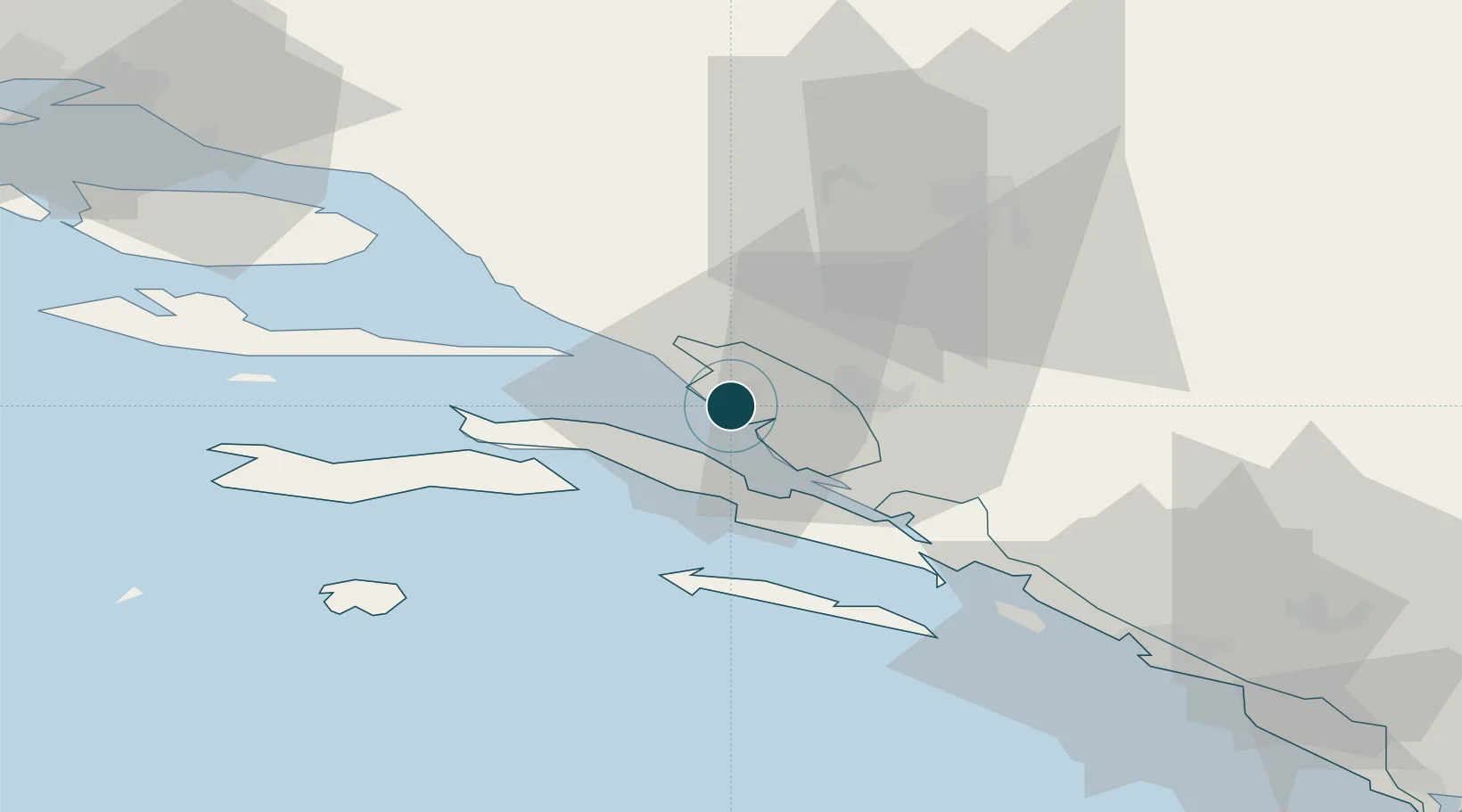
43.0500°, 17.4333°
9.4 m
Channel depth
1
Container terminals
30.1
Port liner connectivity
Channel & Berth Profile
Pilotage, Tugs & Services
Pilotage compulsoryYES
Pilotage availableYES
Pilotage advisableYES
Tug assistanceYES
Salvage tugsYES
Shore powerYES
Potable waterYES
MedicalYES
Garbage disposalYES
Facilities & Capabilities
Container—
Ro-Ro—
Liquid bulk—
Dry bulk—
Oil terminal—
Break bulk—
Dry dock—
RepairsNO
BunkeringYES
Rail linkYES
Dangerous cargo—
ISPS security—
Harbour Specifications
Harbour size
Very Small
Harbour type
Coastal (Natural)
Shelter
Fair
Water body
Adriatic Sea; Mediterranean Sea; North Atlantic Ocean
Tidal range
1 m
Overhead limit
Yes
Pilotage
Yes
Liner Connectivity
30.1
PLSCI
Port Liner Shipping Connectivity Index for Ploce, as published by UNCTAD for the latest available quarter. Higher values indicate stronger scheduled liner-shipping integration.
Shown relative to the highest per-port PLSCI in the dataset (1,657.9).
Location
Container Terminals · 1
LUKA PLOCE TERMINAL
LPT LUKA PLOCE D.D.
Nearby Logistics Neighbours
Airports
- 1Mostar International Airport42 km
- 2Brač Airport67 km
- 3Dubrovnik Ruđer Bošković Airport87 km
- 4Split Saint Jerome Airport107 km
- 5Sarajevo International Airport113 km
Trade Zones
- 1Port of Ploče Free Zone1 km
- 2Free Zone Hercegovina42 km
- 3Split-Dalmatia Free Zone95 km
- 4Port of Split Free Zone97 km
- 5Free Zone Vogošća121 km
DatabookThe Record of Consolidated Knowledge
Croatia beyond logistics?