Large airport · Bosnia & Herzegovina
Banja Luka International AirportLQBK
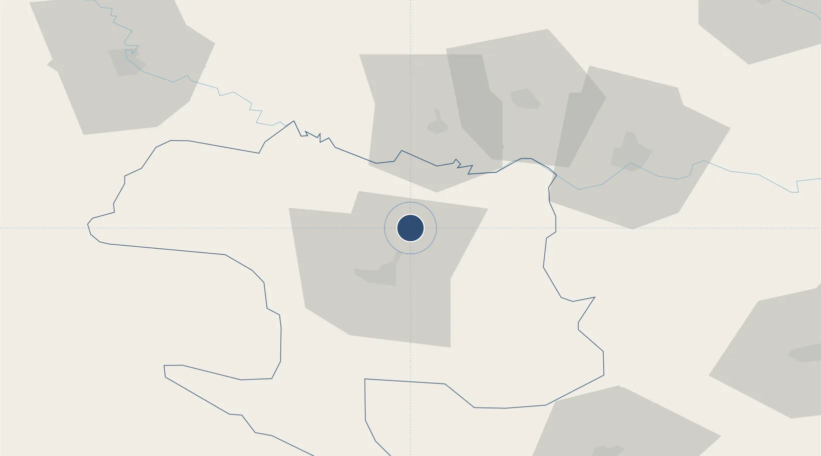
44.9414°, 17.2975°
8,202 ft
Longest runway
1
Runways
400 ft
Elevation
Runway & Layout

Radio Frequencies
TWR
118.95 MHz
APP
118.95 MHz
Navaids
BLK NDB Banja Luka 340 kHz
LAK VOR-DME Banja Luka 115.90 MHz
Runways · 1
| Runway | Dimensions | Surface | True heading | Lit |
|---|---|---|---|---|
| 16/34 | 8,202 × 148ft | Asphalt | 170° | ✓ |
Airport Specifications
IATA code
BNX
ICAO code
LQBK
Airport class
Large airport
Scheduled service
Yes
Runway surface
Asphalt
Served city
Mahovljani
Location
Nearby Logistics Neighbours
Airports
- 1Tuzla International Airport125 km
- 2Udbina Airfield128 km
- 3Zagreb Franjo Tuđman International Airport131 km
- 4Osijek Airport132 km
- 5Pécs-Pogány International Airport138 km
Cities
- 1Buchlovice16 km
- 2Nova Gradiska35 km
- 3Vinosady40 km
- 4Oriovac42 km
- 5Brodski Stupnik47 km
Trade Zones
- 1Duro Daković Free Zone61 km
- 2Osijek Free Zone100 km
- 3Free Zone Holc, Lukavac106 km
- 4Free Zone Visoko125 km
- 5Podunavska Gospodarska Zona Vukovar141 km
DatabookThe Record of Consolidated Knowledge
Bosnia & Herzegovina beyond logistics?