Free Trade Zone · Serbia

Priboj Free Zone Active
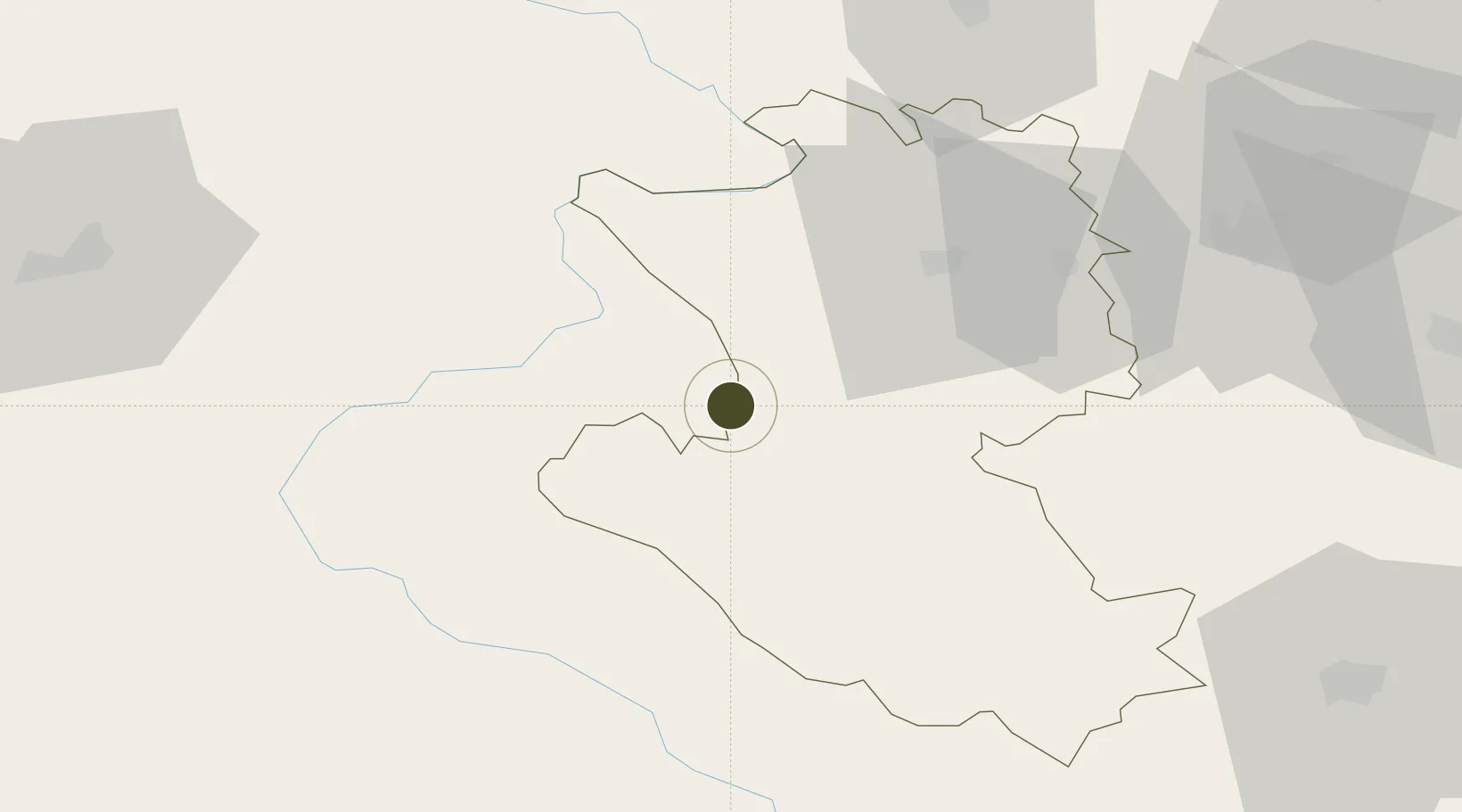
43.6209°, 19.4942°
21 ha
Zone area
138.7 km
Nearest port
35.0 km
Nearest airport

Gateway access

Nearest neighbours — logibook spatial index (haversine) over the source coordinates

Zone profile

Zone type
Free Trade Zone
Open Zone Map
Region
Zlatiborski
Open Zone Map
Status
Active
Open Zone Map
Management
Public-Private Partnership
Open Zone Map
Operator
Slobodna Zona Priboj D.O.O.
Open Zone Map
Legal framework
Free Zone Law 62/2006
Open Zone Map

Location

Location of ozm-4113
Natural Earth 10m (public domain) · Zlatiborski · ozm-4113 · 43.62, 19.49GoogleOSMYandex

Nearby Logistics Neighbours

Ports
  1. 1Risan139 km
  2. 2Kotor146 km
  3. 3Tivat147 km
  4. 4Dubrovnik156 km
  5. 5Neum172 km
Nearest neighbours — logibook spatial index (haversine) over the source coordinates
Airports
  1. 1Ponikve Airport35 km
  2. 2Morava Airport91 km
  3. 3Sarajevo International Airport96 km
  4. 4Tuzla International Airport112 km
  5. 5Mostar International Airport138 km
Nearest neighbours — logibook spatial index (haversine) over the source coordinates
Cities
  1. 1Prijepolje29 km
  2. 2Uzice37 km
  3. 3Sevojno39 km
  4. 4Mravnjac45 km
  5. 5Pozega49 km
Nearest neighbours — logibook spatial index (haversine) over the source coordinates
Trade Zones
  1. 1Uō¾ice Free Zone41 km
  2. 2ō abac Free Zone94 km
  3. 3Free Zone Vogošća96 km
  4. 4Free Zone Visoko115 km
  5. 5FAS Free Zone Kragujevac120 km
Nearest neighbours — logibook spatial index (haversine) over the source coordinates
DatabookThe Record of Consolidated Knowledge
Serbia beyond logistics?
Browse databook

All Sources

Trade ZonesOpen Zone Map
CC BY
Portsthe NGA World Port Index
Public domain (US gov)
AirportsOurAirports
Public domain
LocationsUN/LOCODE
UN/LOCODE — free
← Serbia trade zones