Export Processing Zone · Bosnia & Herzegovina

Free Zone Vogošća Inactive
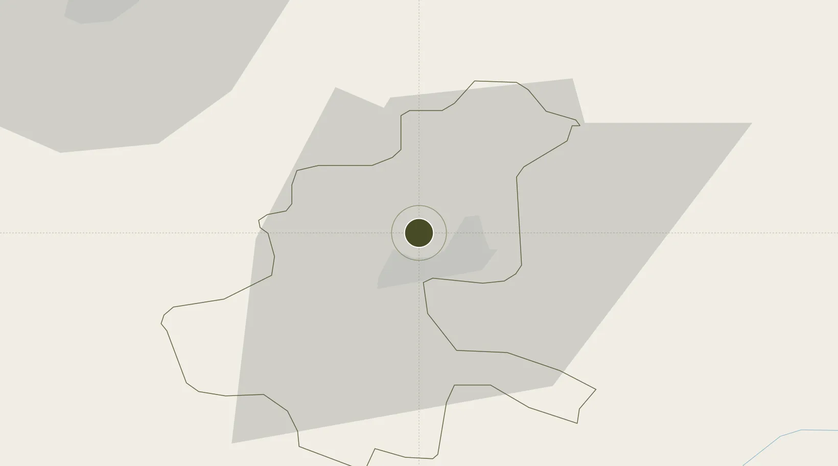
43.9006°, 18.3640°
8 ha
Zone area
120.8 km
Nearest port
8.8 km
Nearest airport

Gateway access

Nearest neighbours — logibook spatial index (haversine) over the source coordinates

Zone profile

Zone type
Export Processing Zone
Open Zone Map
Region
Sarajevo
Open Zone Map
Status
Inactive
Open Zone Map
Management
Private
Open Zone Map
Operator
Slobodna Zona Vogošća D.O.O. Vogošća
Open Zone Map
Legal framework
Law on Free Zones; Official Gazette of the Federation of BiH 2/95, 37/04, 43/04
Open Zone Map

Location

Location of ozm-197
Natural Earth 10m (public domain) · Sarajevo · ozm-197 · 43.90, 18.36GoogleOSMYandex

Nearby Logistics Neighbours

Ports
  1. 1Ploce121 km
  2. 2Neum126 km
  3. 3Dubrovnik139 km
  4. 4Korcula146 km
  5. 5Dugi Rat147 km
Nearest neighbours — logibook spatial index (haversine) over the source coordinates
Airports
  1. 1Sarajevo International Airport9 km
  2. 2Tuzla International Airport69 km
  3. 3Mostar International Airport80 km
  4. 4Ponikve Airport107 km
  5. 5Banja Luka International Airport143 km
Nearest neighbours — logibook spatial index (haversine) over the source coordinates
Cities
  1. 1Vogosca1 km
  2. 2Rajlovac6 km
  3. 3Fojnica38 km
  4. 4Konjic45 km
  5. 5Mravnjac55 km
Nearest neighbours — logibook spatial index (haversine) over the source coordinates
Trade Zones
  1. 1Free Zone Visoko20 km
  2. 2Free Zone Holc, Lukavac72 km
  3. 3Free Zone Hercegovina80 km
  4. 4Priboj Free Zone96 km
  5. 5ō abac Free Zone104 km
Nearest neighbours — logibook spatial index (haversine) over the source coordinates
DatabookThe Record of Consolidated Knowledge
Bosnia & Herzegovina beyond logistics?
Browse databook

All Sources

Trade ZonesOpen Zone Map
CC BY
Portsthe NGA World Port Index
Public domain (US gov)
AirportsOurAirports
Public domain
LocationsUN/LOCODE
UN/LOCODE — free
← Bosnia & Herzegovina trade zones