UN/LOCODE hub · Bosnia & Herzegovina
BATNK
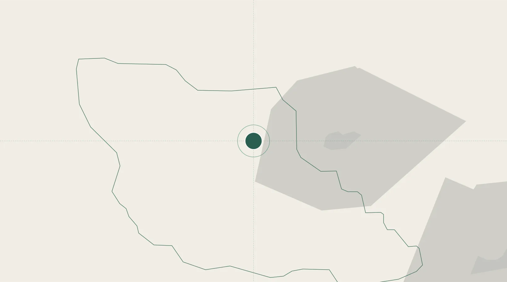
Travnik
44.2167°, 17.6667°
31,127
Population
1
Transport functions
Transport Functions
Multimodal
Hub Profile
Place type
Provincial seat
Region
Federation of B&H
Population
31,127
Time zone
Europe/Sarajevo
Elevation
507 m
Location
Nearby Logistics Neighbours
Cities
- 1Donji Vakuf23 km
- 2Bugojno26 km
- 3Fojnica35 km
- 4Maglaj48 km
- 5Matuzici60 km
Airports
Trade Zones
- 1Free Zone Visoko46 km
- 2Free Zone Vogošća66 km
- 3Free Zone Holc, Lukavac76 km
- 4Free Zone Hercegovina102 km
- 5Duro Daković Free Zone109 km
DatabookThe Record of Consolidated Knowledge
Bosnia & Herzegovina beyond logistics?